
The TRS Vagabonds pay tribute to the original Vagabonds that consisted of Henry Ford, Harvey Firestone, Thomas Edison, and John Burroughs. From 1914-1924 Henry Ford, Harvey Firestone, Thomas Edison, and John Burroughs calling themselves “the Four Vagabonds” embarked on a series of cross-country summer camping trips and their adventures were well-documented and publicized.
If Ford Motor Company was smart, they’d create a ‘Vagabond Package’ that was a Ford SUV (Henry Ford) with Firestone Tires (Harvey Firestone) with LED off-road lights, perimeter lights, electric cooler and inverter (Thomas Edison), and include a guide on camping and nature (John Burroughs), and pay tribute to this part of Ford history.
The Kentucky Adventure Tour (KAT) is a 900+ mile loop (not counting the hard sections) around the hills and mountains of southeastern Kentucky. It is about 40% rural narrow twisty paved roads with the rest being gravel, dirt roads and trails. I keep wanting to call this the Kentucky Adventure Trail.
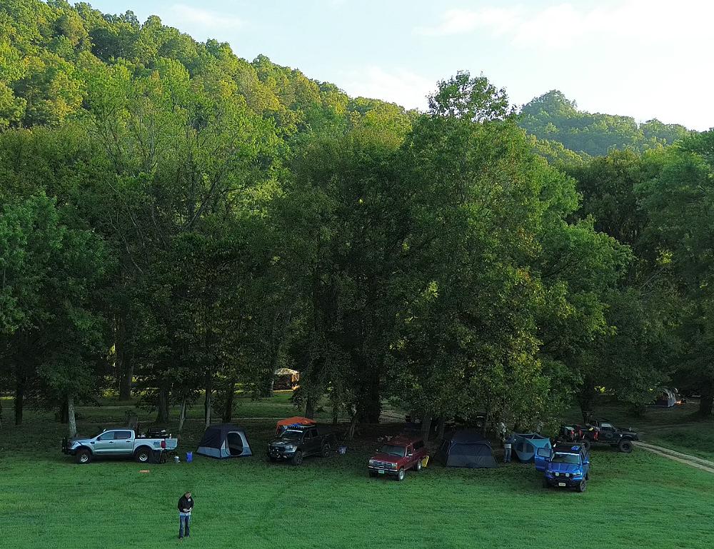
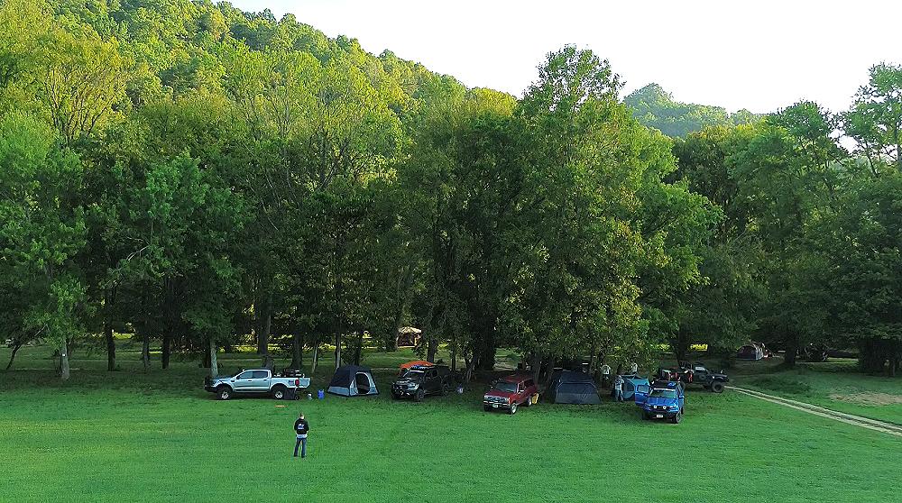
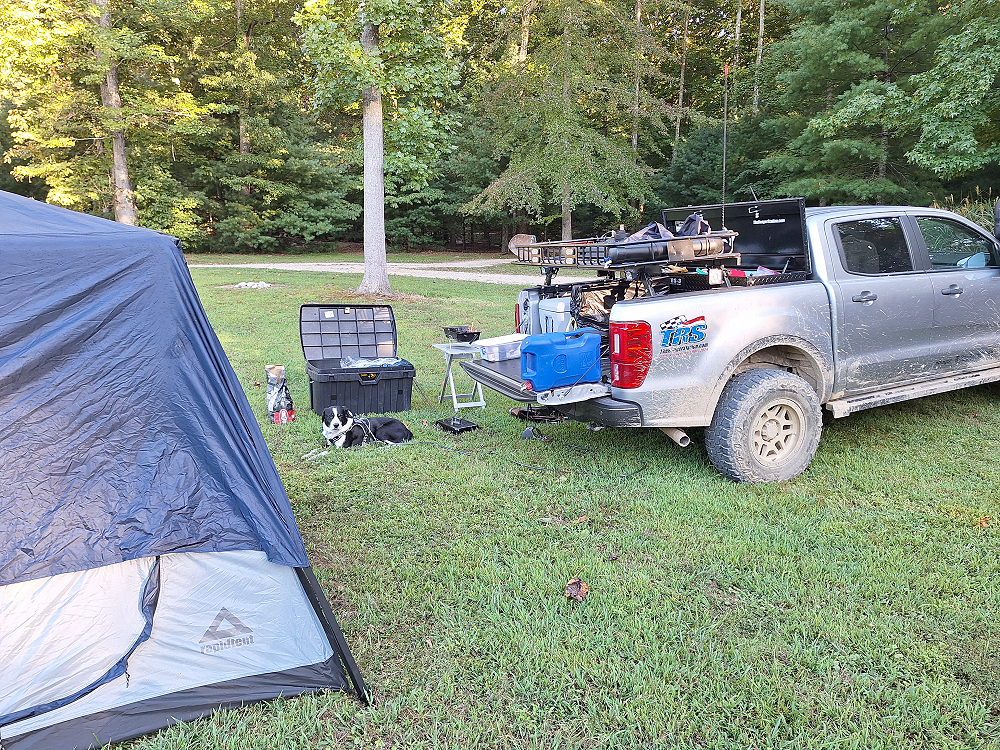
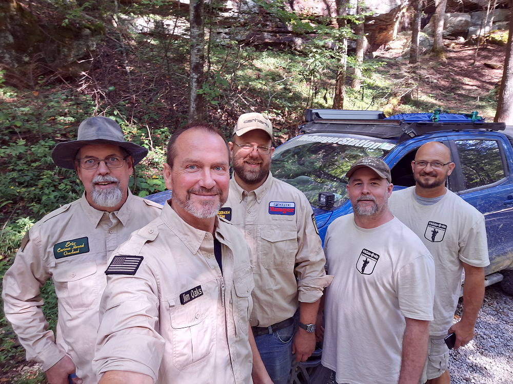
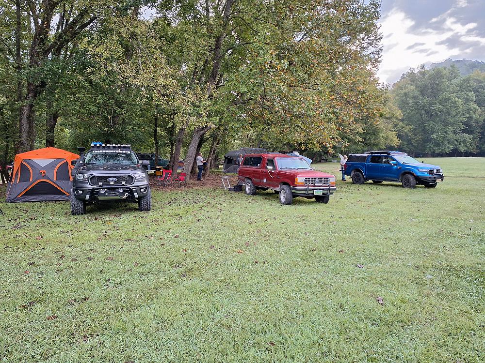
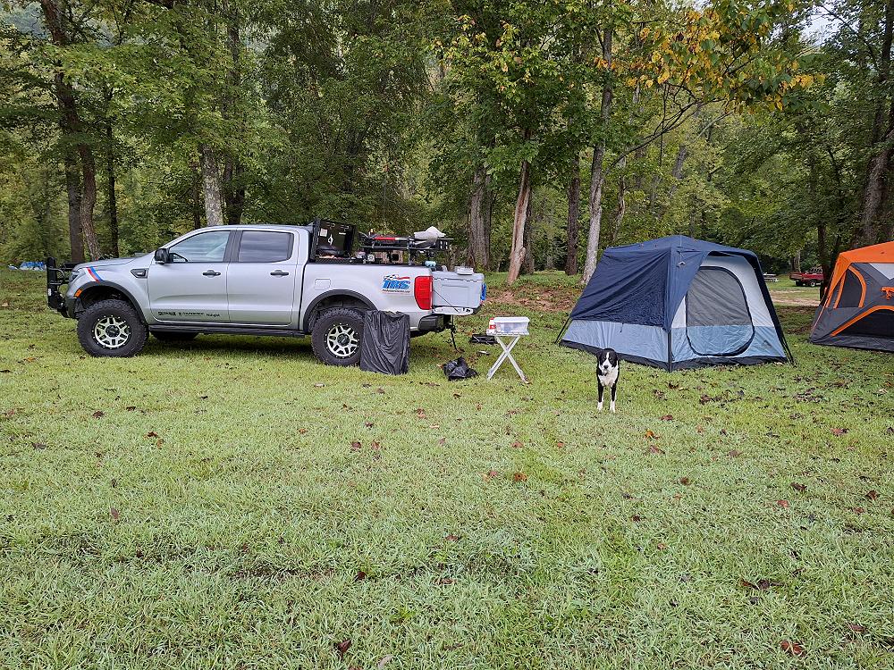
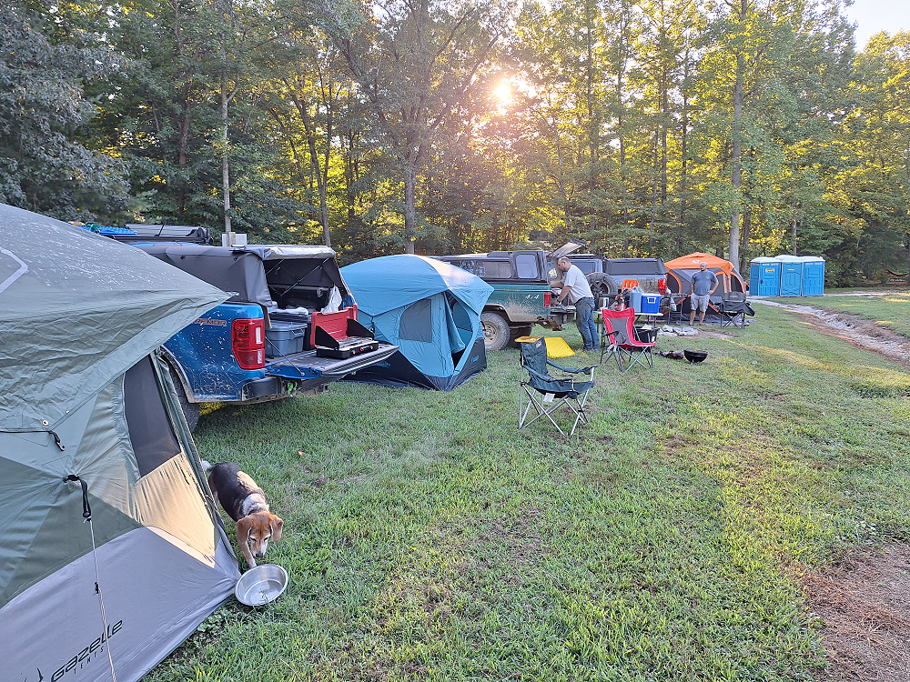
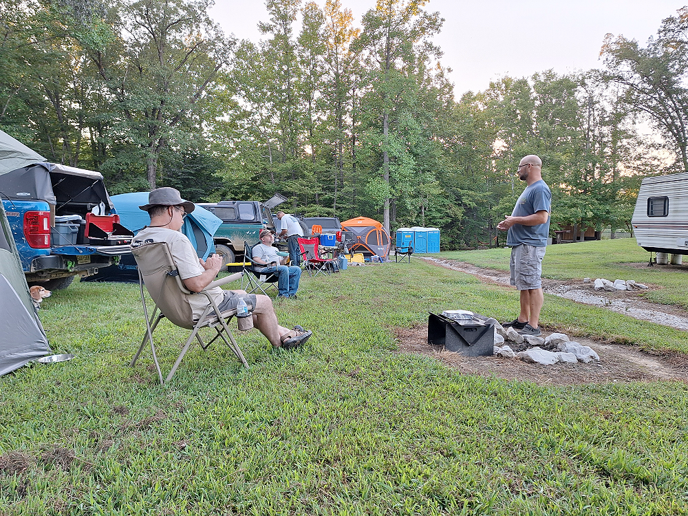
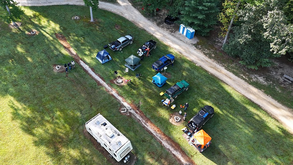
On Sunday September 8th, Robbie (Robertmangrum.rm), Kevin (snoranger), Eric (Curious Hound), Justin (85_Ranger4x4), and myself met at the Red River Gorge Campground in Stanton, Kentucky and setup camp. This is a beautiful piece of property at the end of a road just outside of Slade, Kentucky. It has beautiful open fields with a nice, wooded area that borders the Red River. It’s a primitive campground and only offers portapotty’s. When I was planning this trip, it was the only place I could find that was willing to let us stay just one night on the Labor Day weekend. Most campgrounds require that you book the whole weekend.
Driving to the campground on Sunday, I noticed that the campgrounds around Slade were packed, so finding this campground with very few people in it was a blessing.
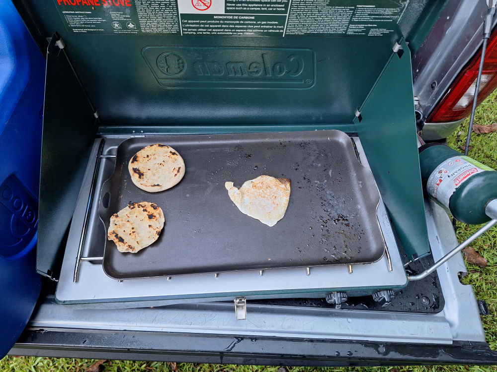
Breakfast consisted of an English muffin with a sausage patty and egg in between it. Here I had already cooked the sausage and I’m toasting the English muffins on the skillet, and I fry my egg.
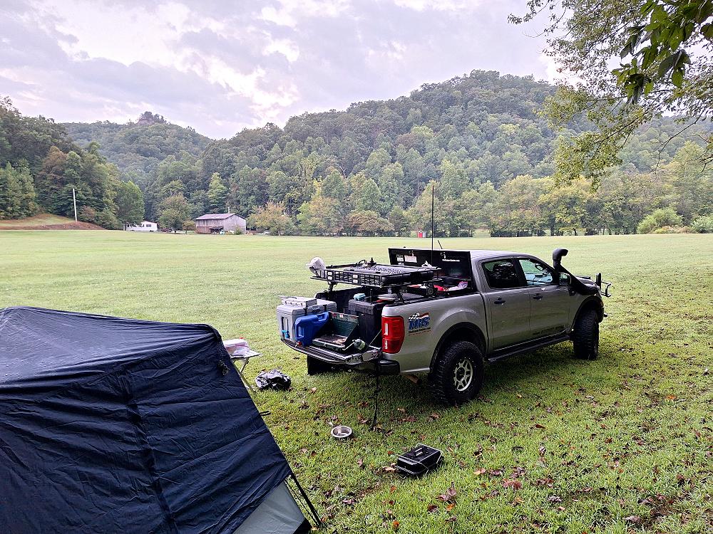
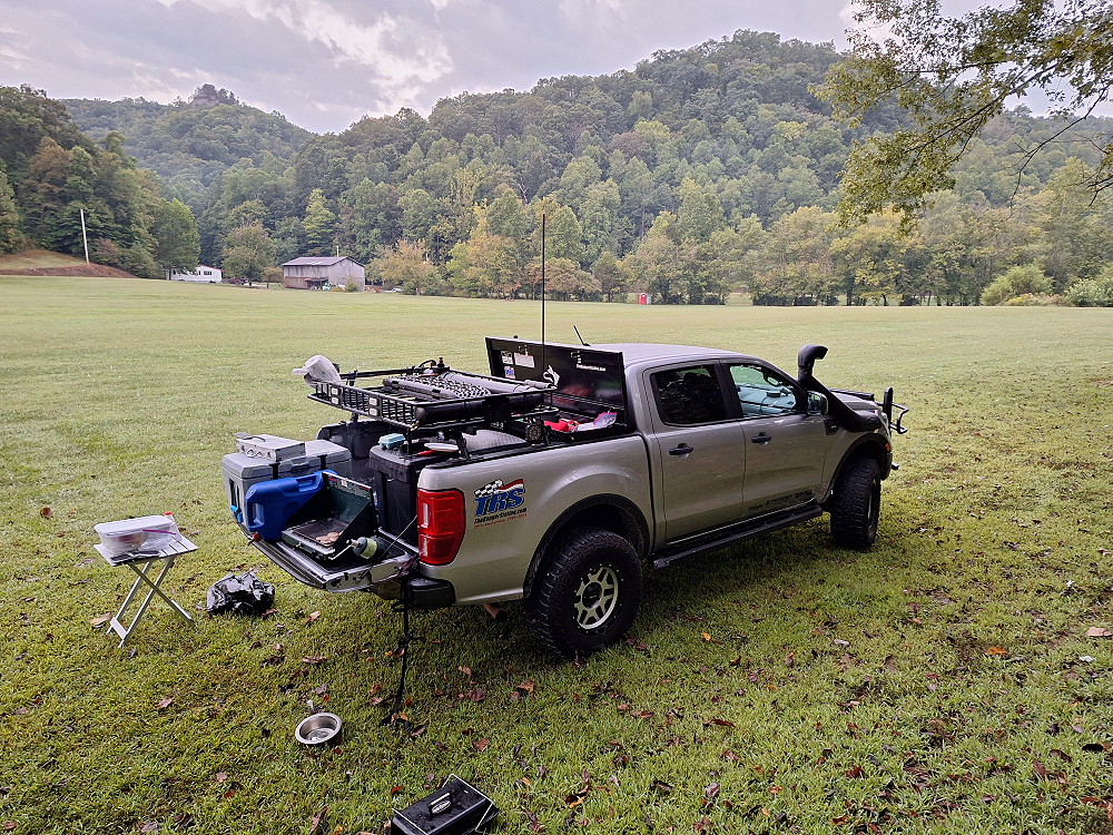
After having breakfast on Monday morning and packing up our camping gear, it was Go Time!
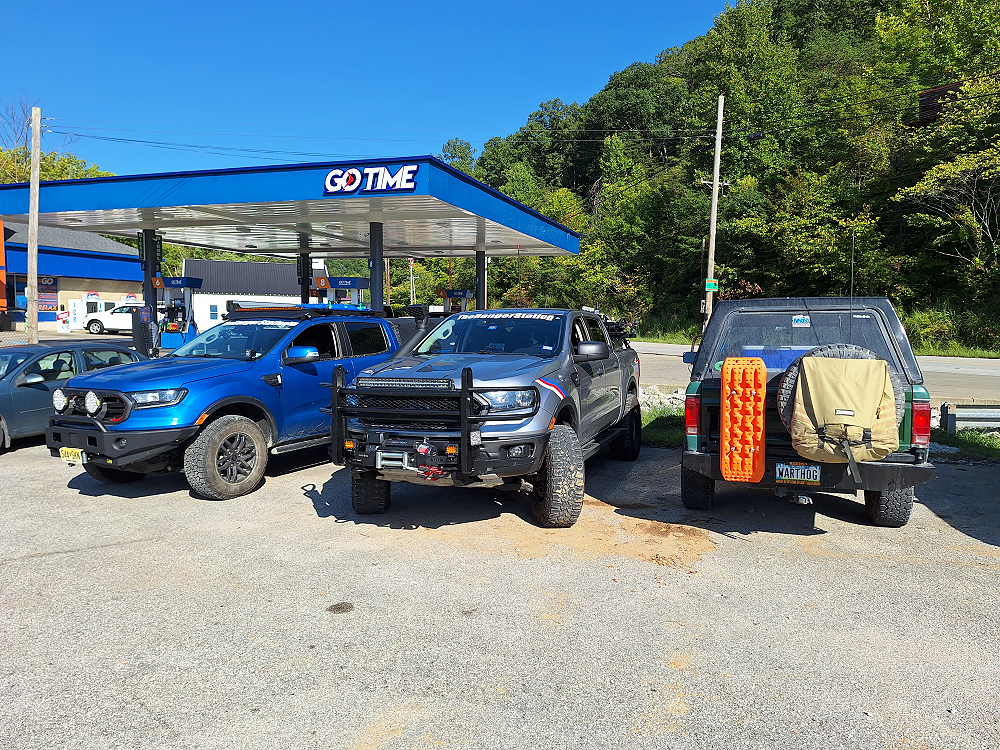
Ya, I couldn’t resist. We had stopped for gas and ice, and I when I looked up and saw the ‘Go Time’ sign, I had to take a picture.
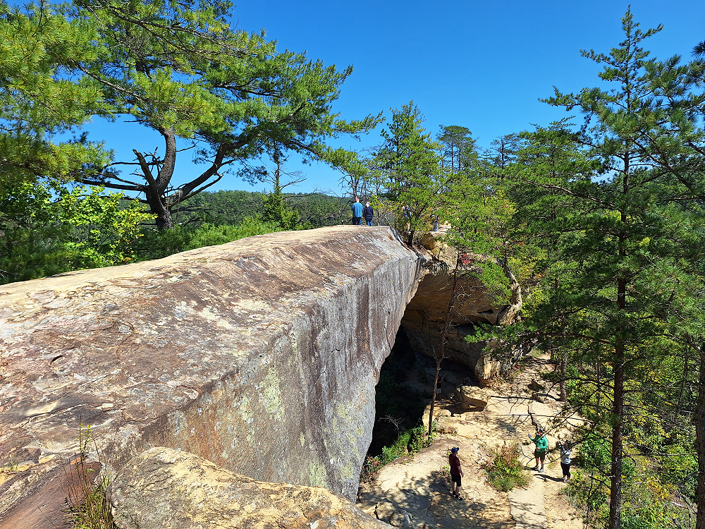
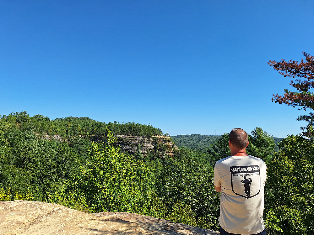
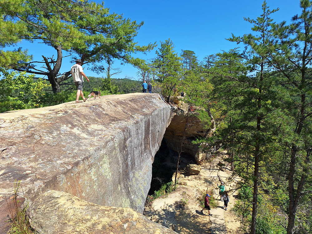
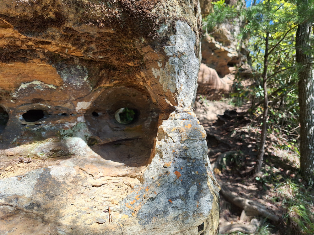
From here we headed to the Natural Bridge State Resort Park. The park was founded as a private tourist attraction in 1895 by the Lexington and Eastern Railroad. In 1910, Louisville and Nashville Railroad acquired the land when it purchased the Lexington and Eastern Railroad. In 1926, L&N’s President Wible L. Mapother turned over its approximately 137 acres to the Kentucky State Park Commission, making the Park one of Kentucky’s original four state parks when that system was established the same year. There are over 20 miles of trails over uneven terrain from moderate to strenuous difficulty, including trails to White’s Branch Arch, Henson’s Cave Arch, and other scenic areas. Some of the most famous sites in the park are the arch itself, “Lover’s Leap”, and “Fat Man’s Squeeze”.
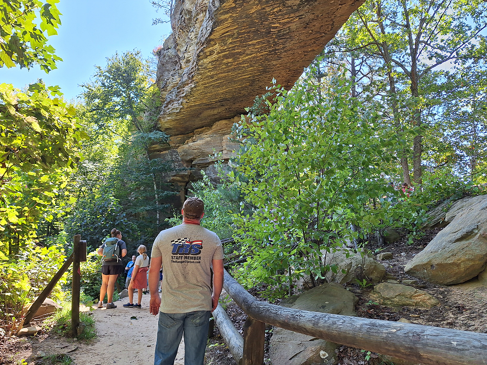
The natural sandstone arch bridge spans 78 feet and is 65 feet high.
In the photo above you can see people starting up through ‘Fat Mans Squeeze’ to get to the top of the arch.
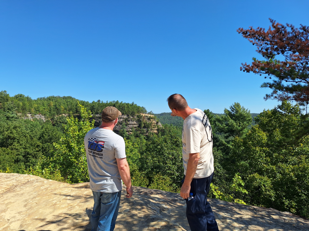
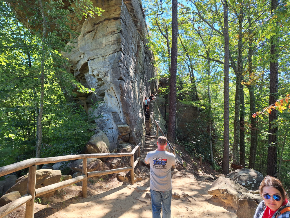
Can you see it? It’s way over there. See it? Forget it. Look at that cool TRS Staff Member shirt and Vagabond shirt! LOL
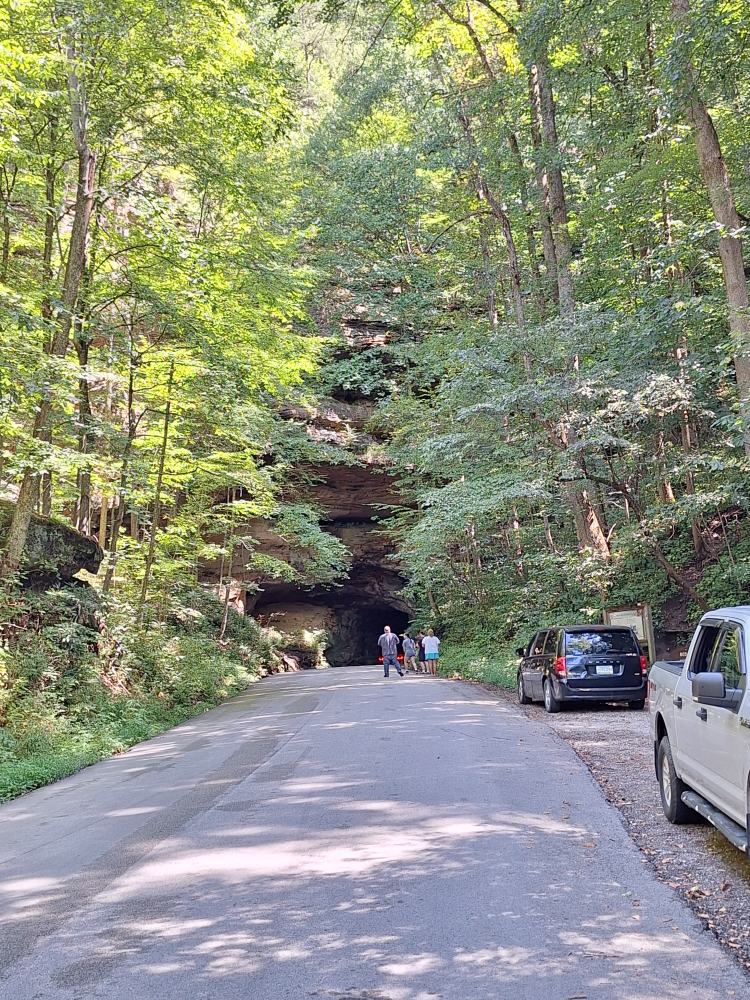
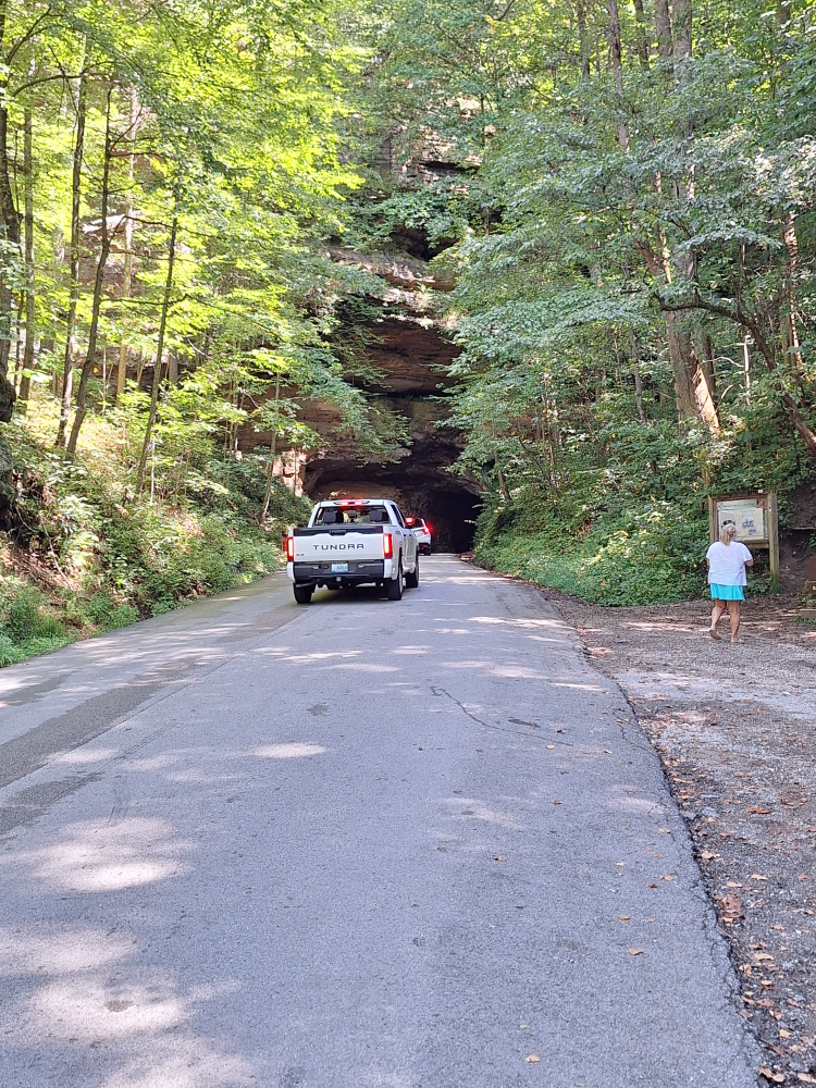
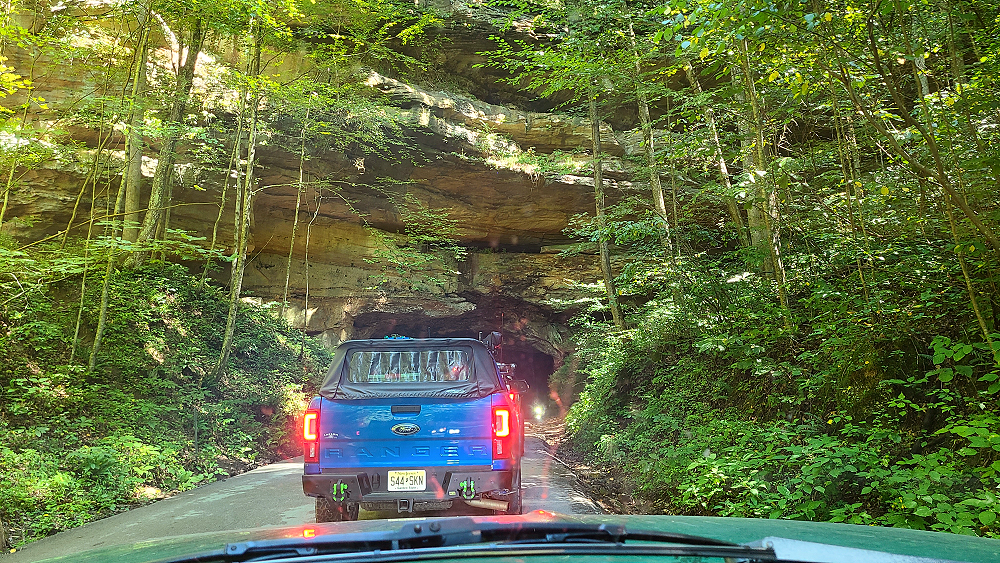
After leaving the state park we headed to the Nada Tunnel which is along the Kentucky Adventure Tour route.
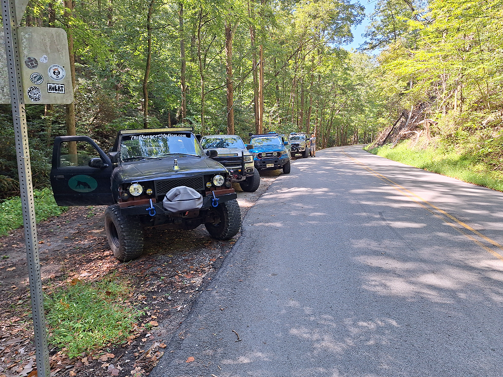
Nada Tunnel is a historic 900-foot-long tunnel along Kentucky Route 77 in Powell County, Kentucky, in the United States. Formerly a railway tunnel, the tunnel has often been described as the “Gateway to Red River Gorge” for the shortcut it provides motorists to the Red River Gorge canyons of the Daniel Boone National Forest.
Built for the Dana Lumber Company between 1910 and 1911, Nada Tunnel (pronounced nay-duh by locals) was named after Nada, Kentucky, then a logging town about 10 miles past the tunnel’s entrance. Solid sandstone was blasted with dynamite and dug out with steam machinery and hand tools, with two teams working from each side of the ridge.
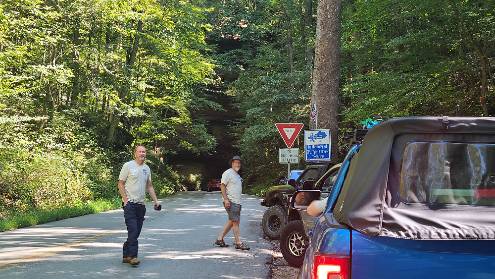
The tunnel’s original dimensions were 12 by 12 feet, but when the first train load of logs became stuck and had to be blasted free, the tunnel’s height was increased to 13 feet. Narrow gauge steam locomotives of the Big Woods, Red River & Lombard Railroad regularly hauled timber extracted from the vast forests of the Red River Valley through the tunnel, to a sawmill 15 miles away in Clay City.
Once the forests had been cleared, the timber companies pulled out of the area. The railroad tracks were removed, and a dirt road was laid in the unlit tunnel in order to accommodate horse and pedestrian traffic. Nada Tunnel has since been paved to carry a single lane of road traffic.

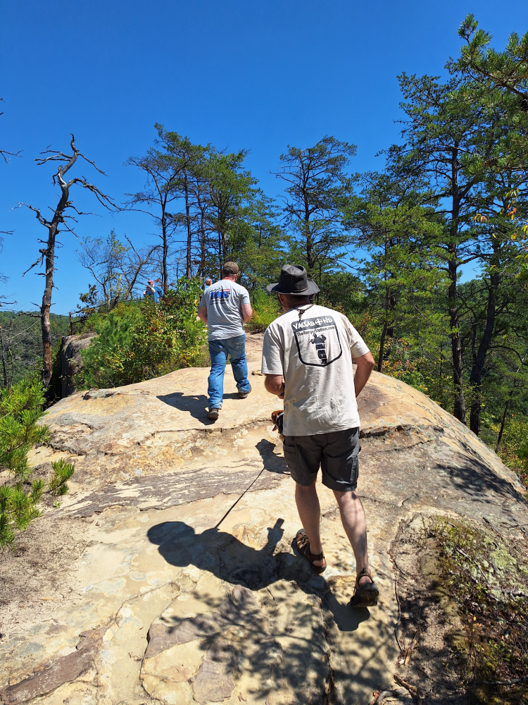
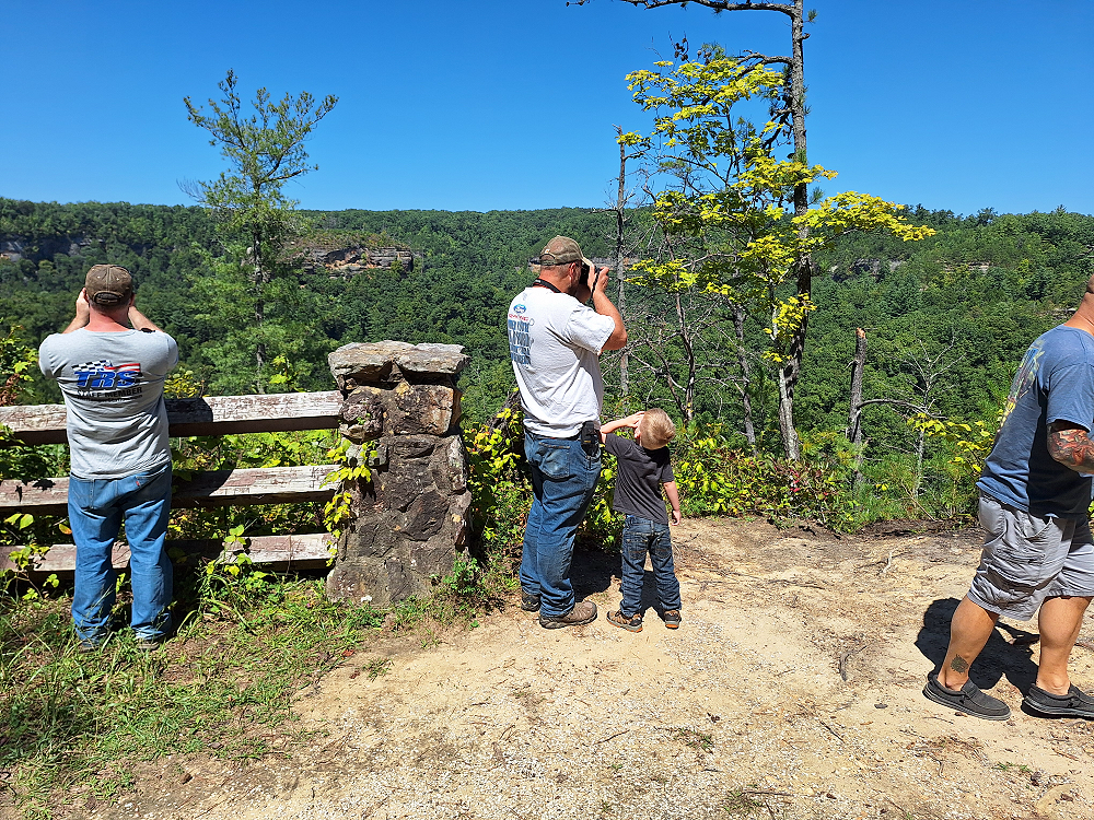
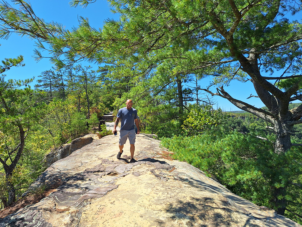
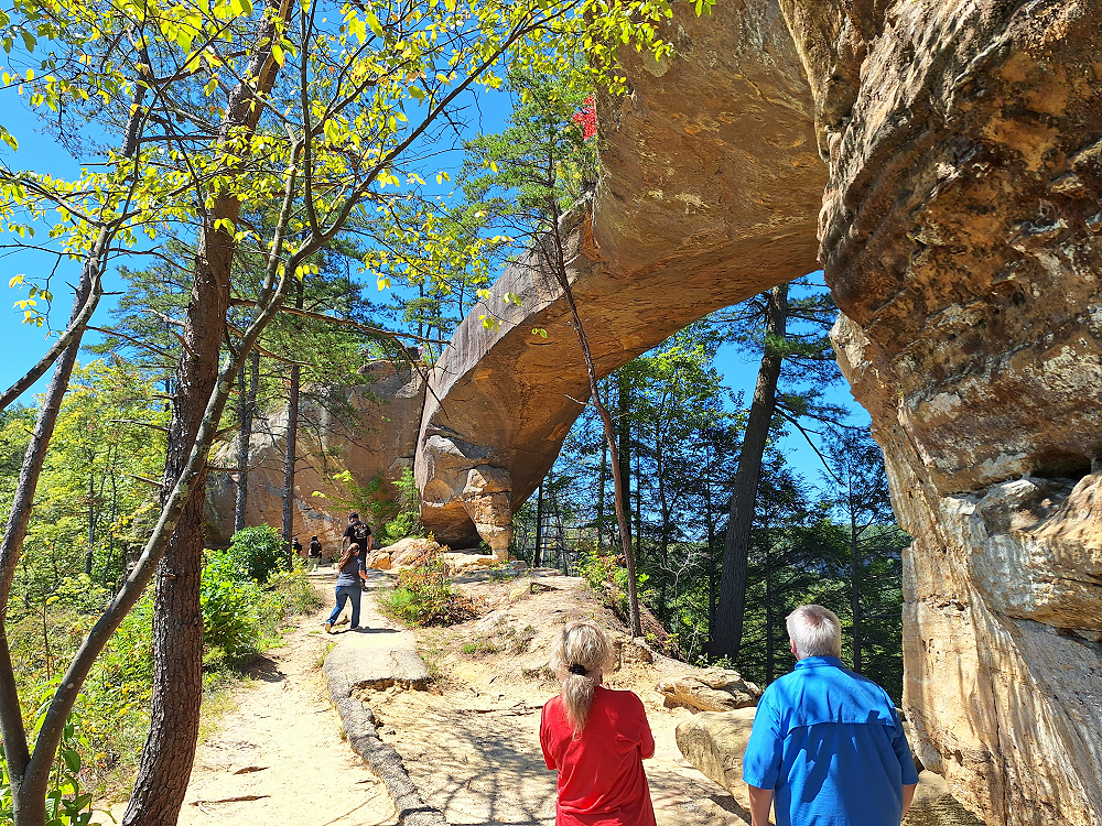
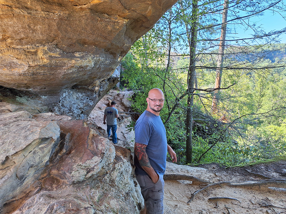
From here Eric led us to the Sky Bridge Arch.
(Kevin on the left and Eric on the right)
(Kevin, Justin, Oliver, and Robbie)
(Robbie wishing he had worn his cool Vagabond shirt. LOL. J/K)
(Robbie – always smiling)
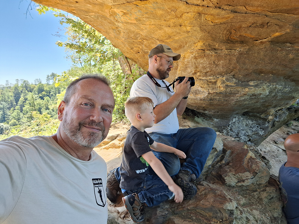
(Jim (me), Oliver, and Justin)
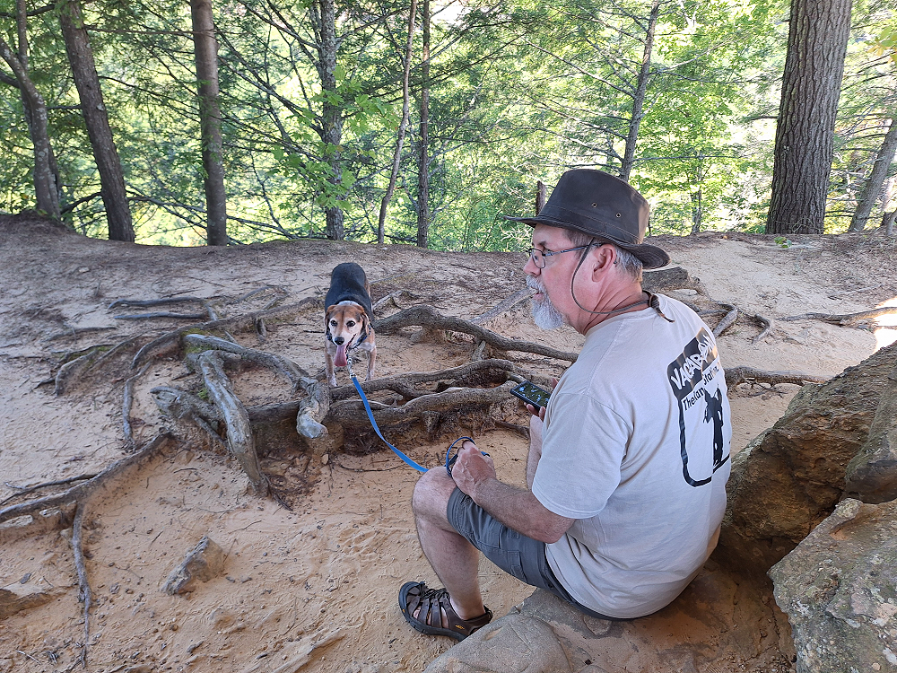
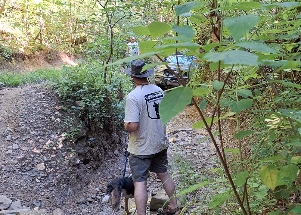
Above is Eric and his dog Livvy. I’ve seen Livvy several times over the years, but never really got time to spend time with her. Livvy gets a little separation anxiety when Eric leaves to use the restroom or take a shower. I think we all found ourselves bonding with her and comforting her every time that happened. She’s a very sweet companion.
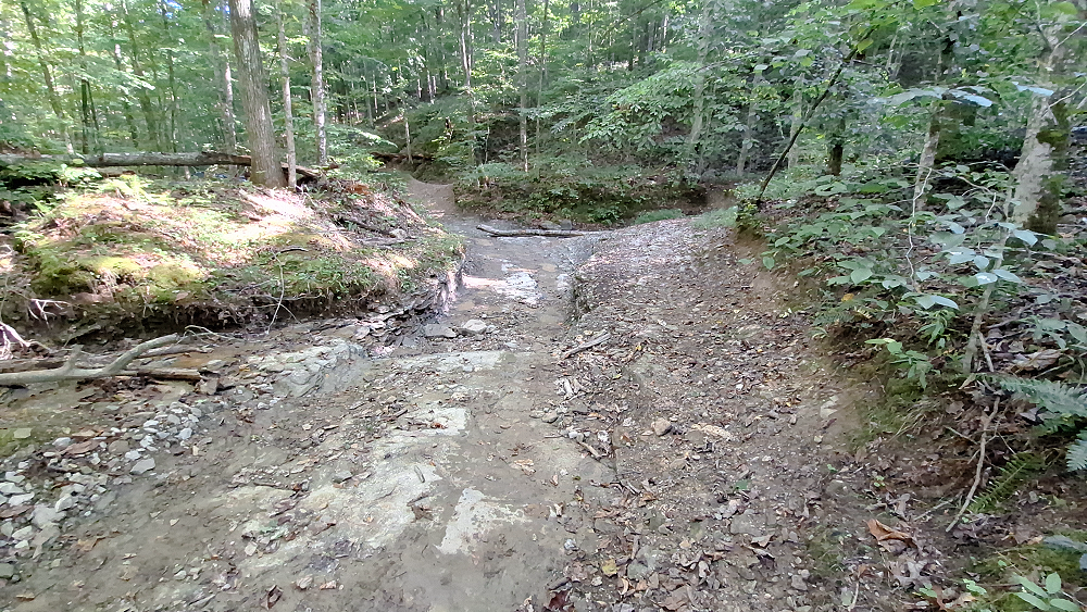
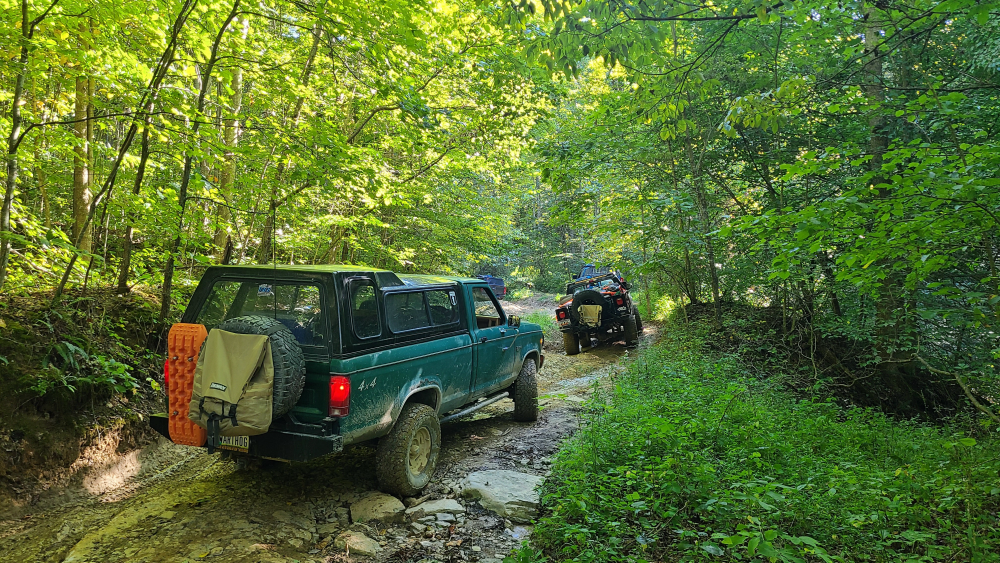
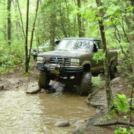
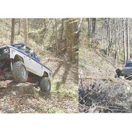
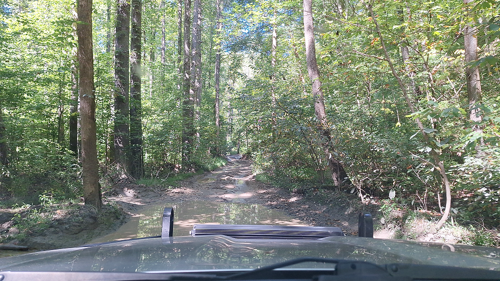
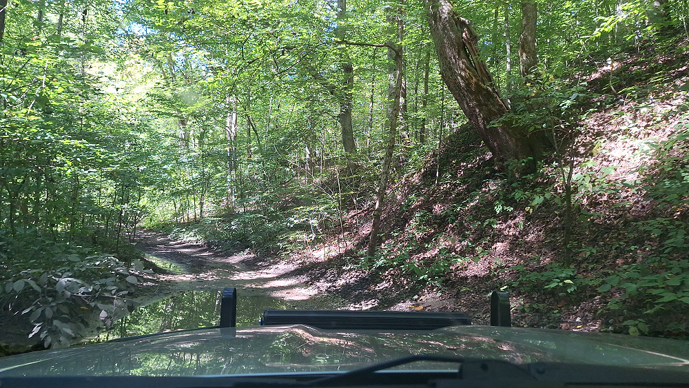
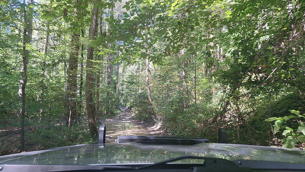
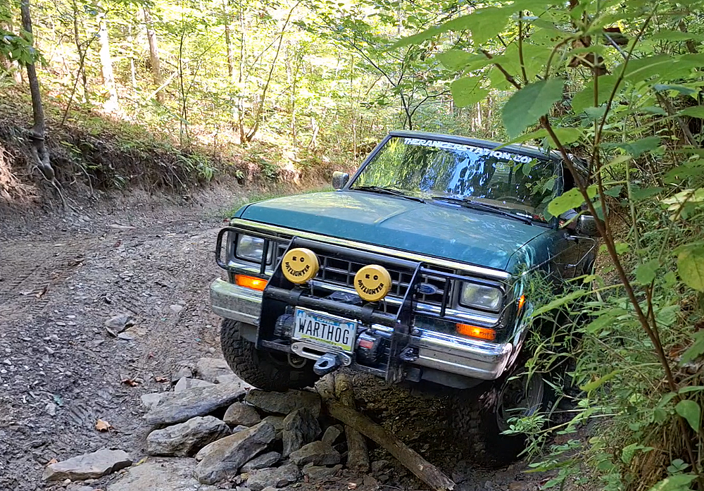
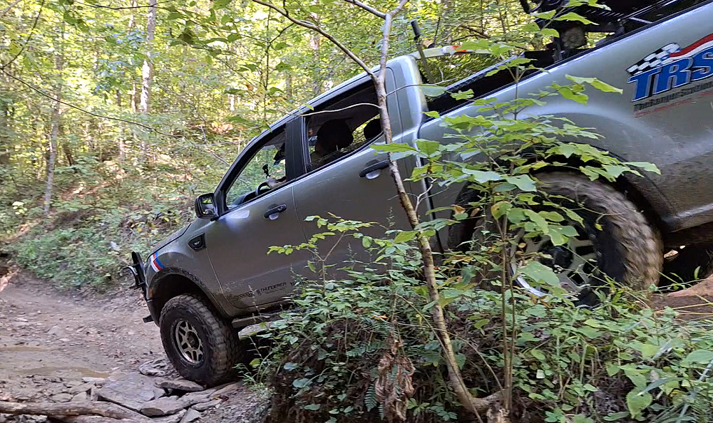
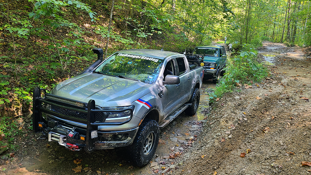
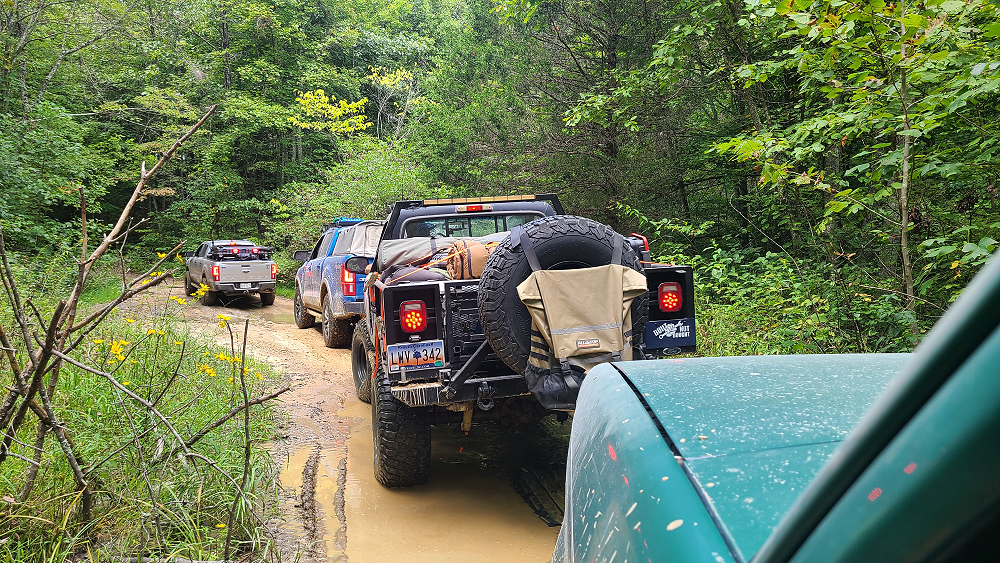
Leaving the Sky Bridge Arch, we worked our way back to the KAT and eventually found ourselves on Spaas Creek road. The KAT has some optional lines marked as ‘Hard’. This was not one of them. This was the main route but was a little rougher than I expected to find on a main route. Don’t get me wrong, I loved it!
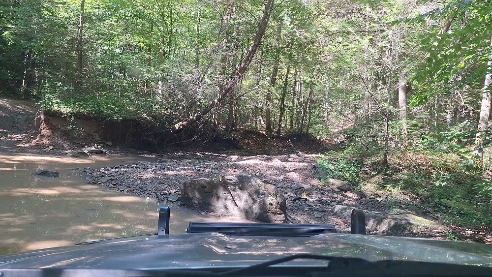
Kevin, Justin and Robbie took the low route. Eric and I took the high route.
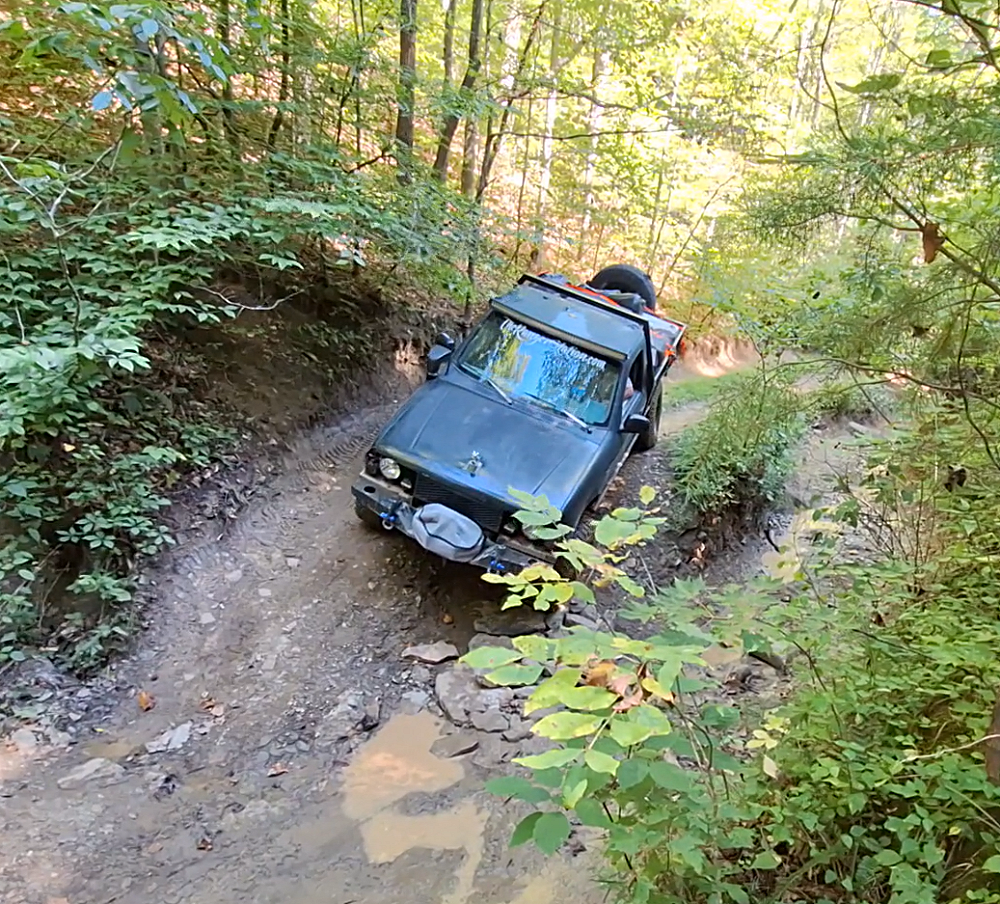
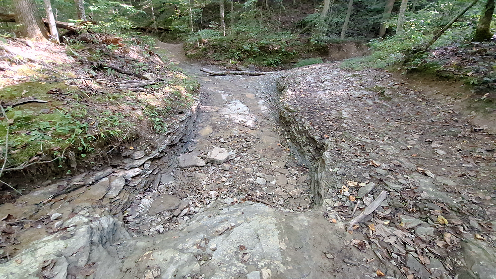
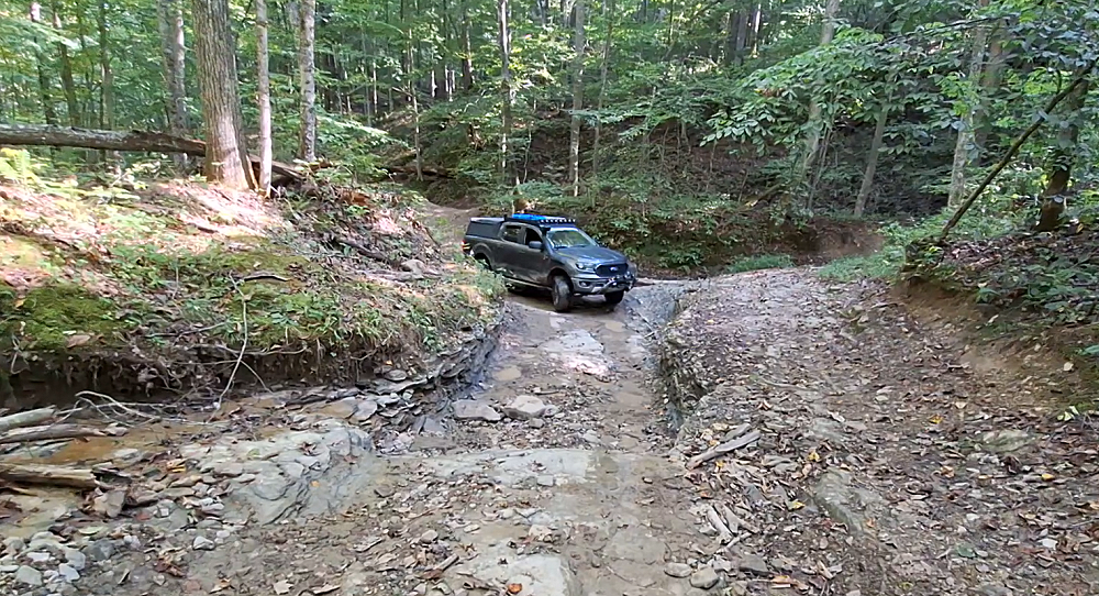
This was an interesting spot. Looking in that cut, we were approaching from the left around the bend, and then coming up through this cut. It’s deep enough that the rocky edge could rub against the body, so we spotted everyone coming through it. I don’t seem to have any photos of anyone coming through it, so I took a screenshot from the videos.
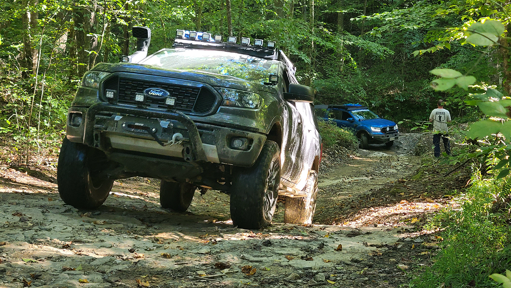
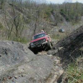
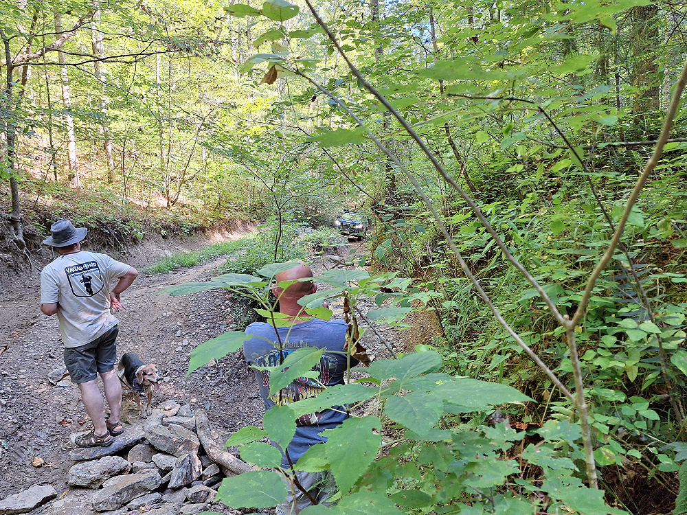
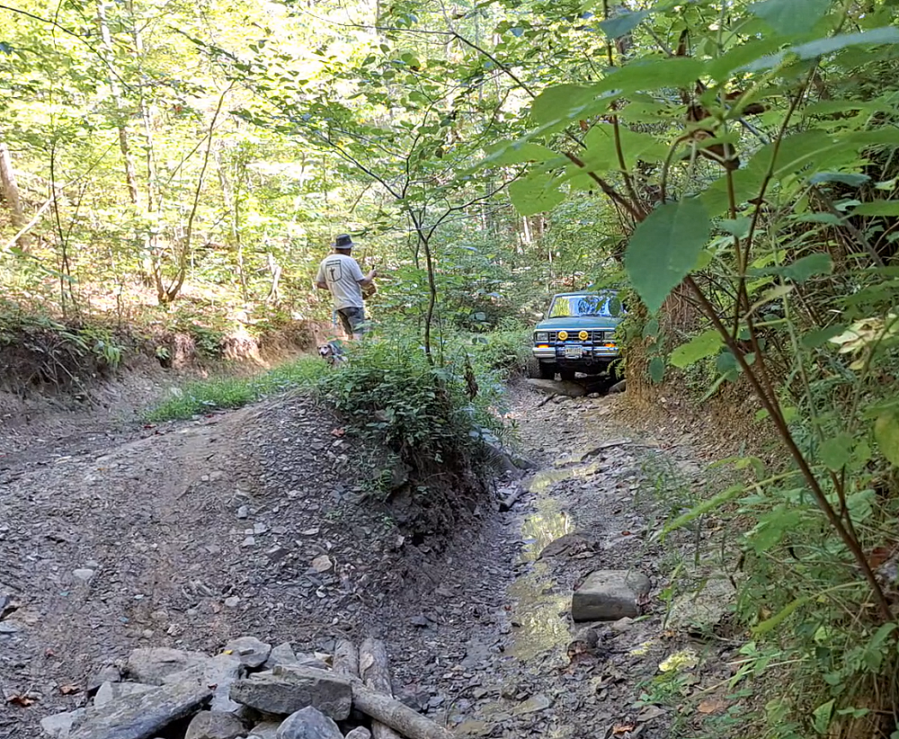
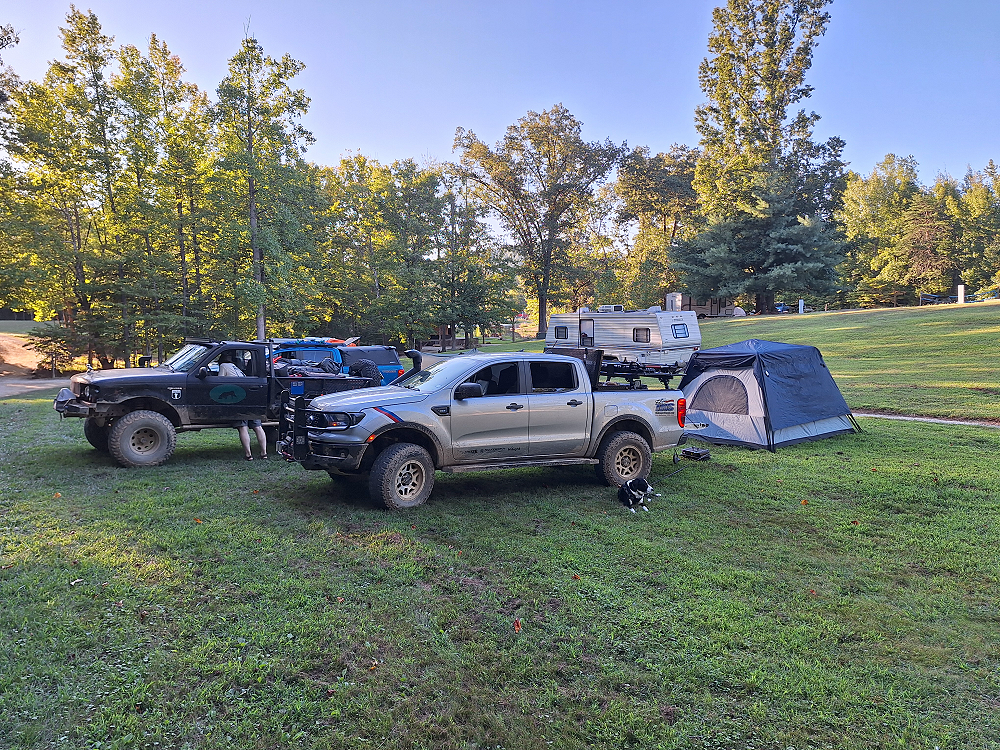
Shortly after leaving Spaas Creek we found ourselves going up Pumpkin Hollow. Pumpkin Hollow was starting out much rougher than Spaas Creek was. This road turned trail had a lot of ruts, mud holes, rocks, and off camber areas. I got about 3/4 to a mile up the trail when I heard Kevin call out on the radio that he was scraping everywhere through here. At the same time, I had just crawled over a rocky ledge after a couple of attempts. Kevin expressed concerned about getting a lot of damage, so I got out and walked up the trail some. Although I think we could have made it, I think it would have taken quite a bit of time, and it was already around 5:00 pm. We still needed to find a place to setup camp and make dinner before it got dark, so we made the decision to bypass this section and head to Callies Lake and Campground in Bowen, Kentucky. I had to continue up the trail a little further to find a place to do a 100-point turn and turn around.

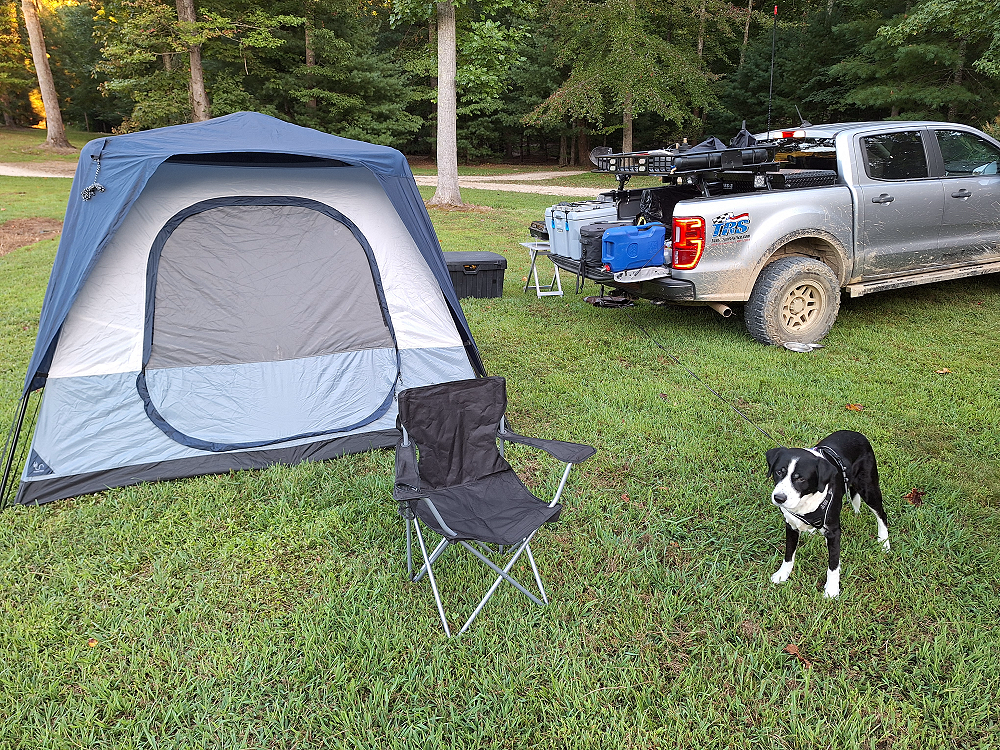
The nice thing about Callies is that they not only did they have showers, but they also had a store and Restaurant. I resisted their tempting menu knowing I had a cooler full of food to cook this week.
We had just enough time to set up camp, make our dinners, and eat before the sun set.
It was a beautiful day. With a high temperature around 75 degrees and a low in the 50’s at night, it was the perfect weather for our adventure.
Discussion:
Want to see more details about this trip or ask questions? Check out:
Vagabonds – Kentucky Adventure Tour – 2024 | The Ranger Station
Links:
Kentucky Adventure Tour (Trail)
Natural Bridge State Resort Park
The Vagabonds – Kentucky Adventure Tour – Day 2
The Vagabonds – Kentucky Adventure Tour – Day 3
The Vagabonds – Kentucky Adventure Tour – Day 4
Video:
Kentucky Adventure Trail Day 1 Maps:
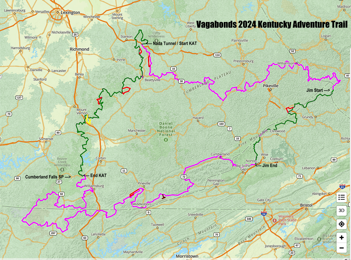
The map above shows the Kentucky Adventure Trail in purple. The green line on the left (west) side of the map is the sections we completed over 4-days. The green line on the right (east) side of the map is the part I drove on my return trip back to Texas.
The maps below show the sections we drove on Day One.
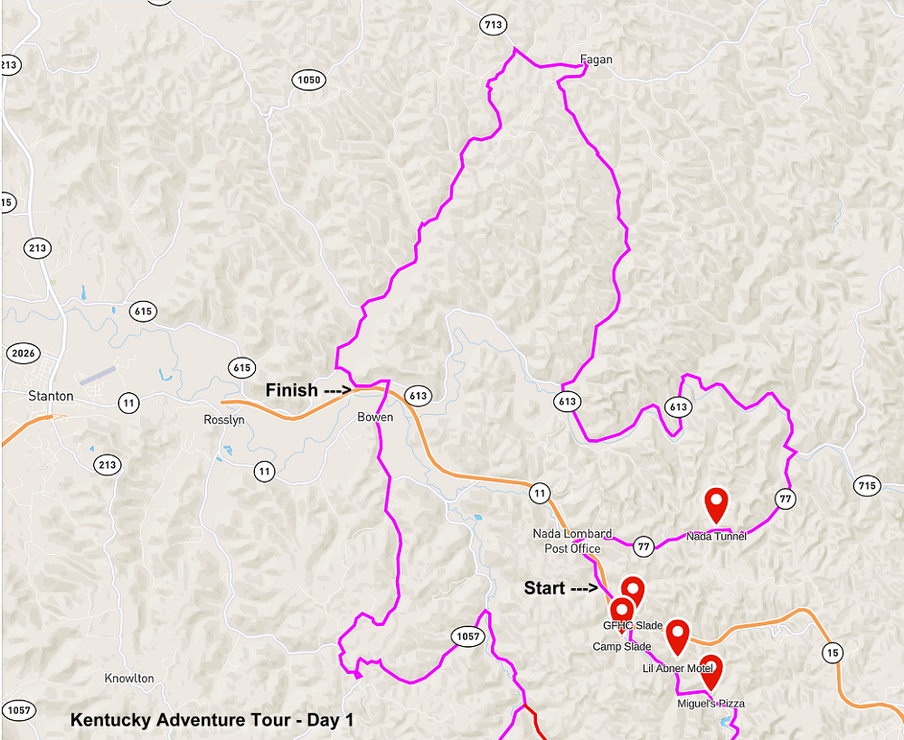
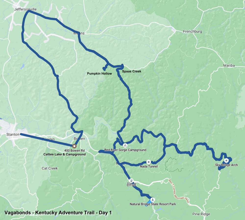
Photo Gallery:
Click the images to enlarge.