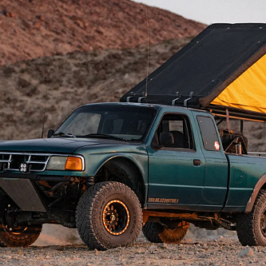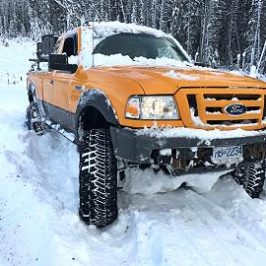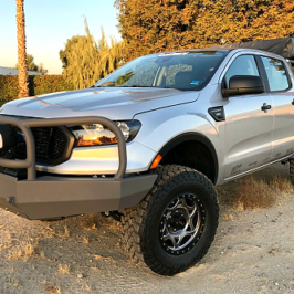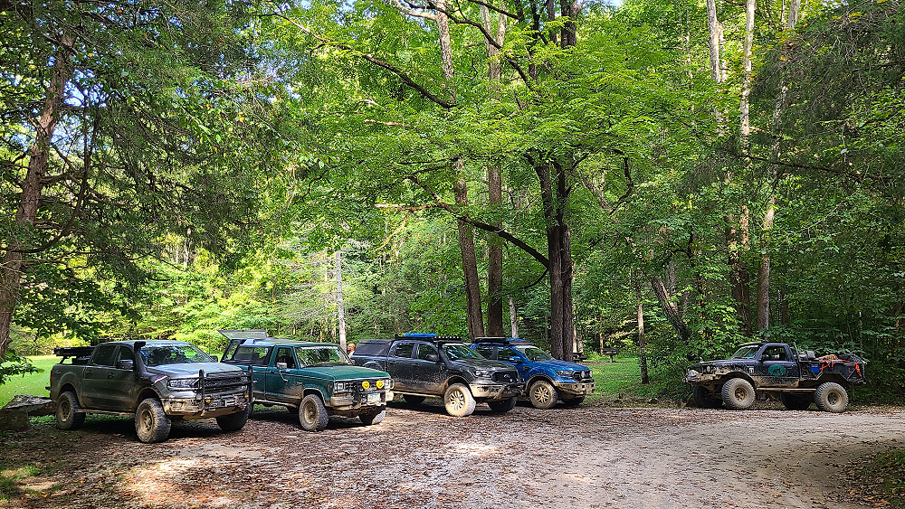
We all woke up early Wednesday (September 4, 2024) after a good night’s rest. Since the spot we all camped in wasn’t a designated camping site (the campground didn’t have a group site, and all of the individual sites were spaced a good distance from each other) we wanted to get packed up before anyone came in wanting to use this area. We also didn’t want to run the risk of getting woke up by an unhappy park ranger.
After packing up all of our gear and having a quick breakfast, we stood by the trucks and talked for a few minutes before hitting the trail. As we stood there, I heard the humming of what sounded like a big drone. As the noise got louder, I realized that it was a lawn mower. Moments later a guy from the park service pulled up on a large mower and asked us if we minded if he cut the grassy field behind us. Then two other guys showed up with weed eaters. Had we not woken when we did, we would have had a rude awakening. But once we were packed up, you couldn’t tell we had ever camped there.
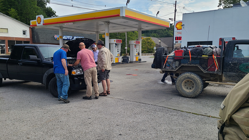
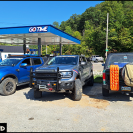
We headed into McKee where we stopped at a shell station to fuel up and use the little store. While we were there, an old guy pulled up in a Ford Ranger and said that he was leaking something. Snoranger (Kevin), Robertmangrum.rm (Robbie) and Curious Hound (Eric) looked at it and determined that it was just condensation from the air conditioner.
We headed on down the Kentucky Adventure Tour which took us back down a gravel road through the hills of Kentucky. As I rounded a bend, a skidder had just pulled off of the road dragging a large log behind him. The logger stopped and I asked the guy if the road was clear and proceeded forward.
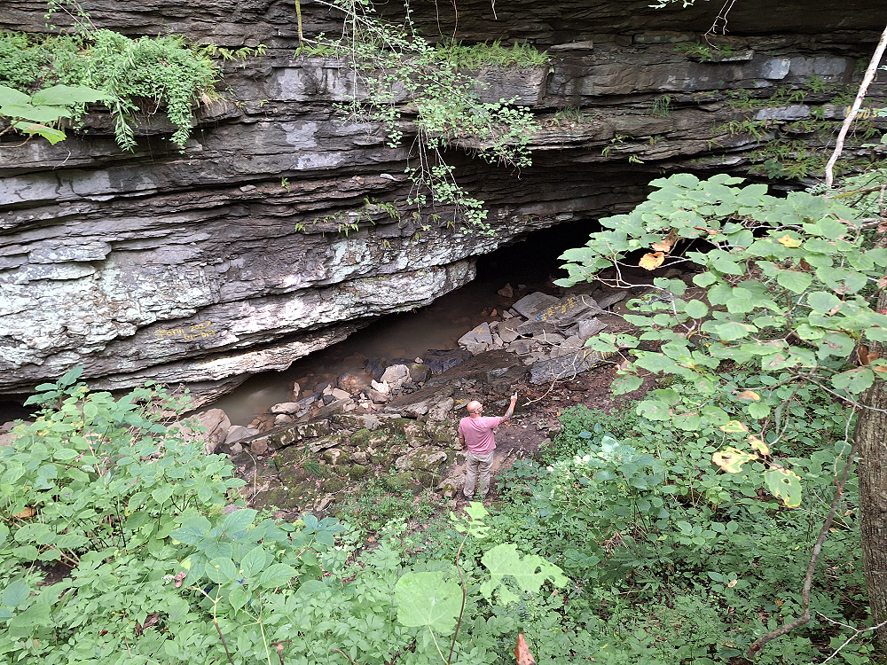
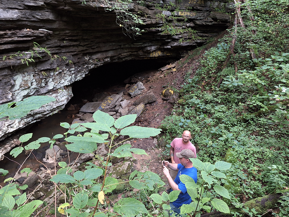
We came to a section where the KAT map listed a cave, so we all stopped to check it out.
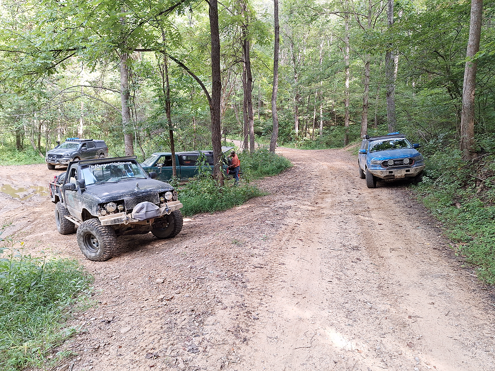
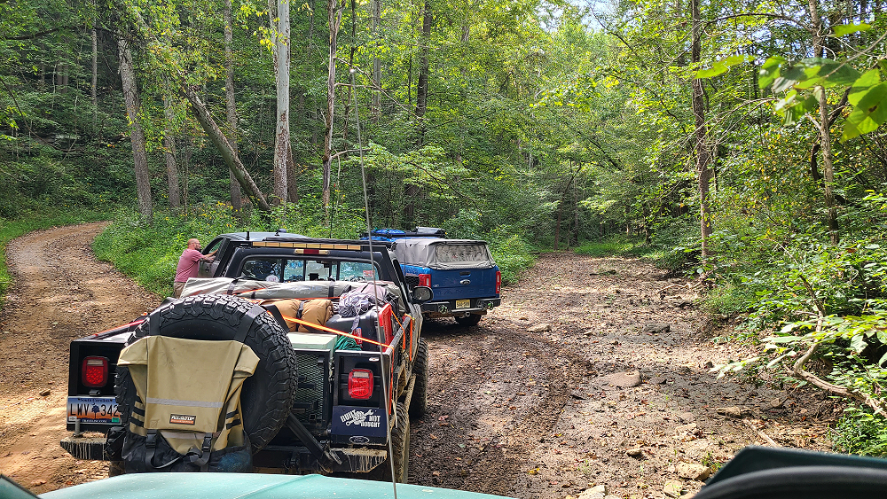
The cave had a creek running through it which is probably what formed it. Robertmangrum.rm and snoranger went all the way down to it.
We continued on our journey. It was a beautiful day with temps in the mid 70’s. As for me (Jim Oaks), the weather itself was a wonderful vacation from the 100–105-degree temps that I left in Texas.
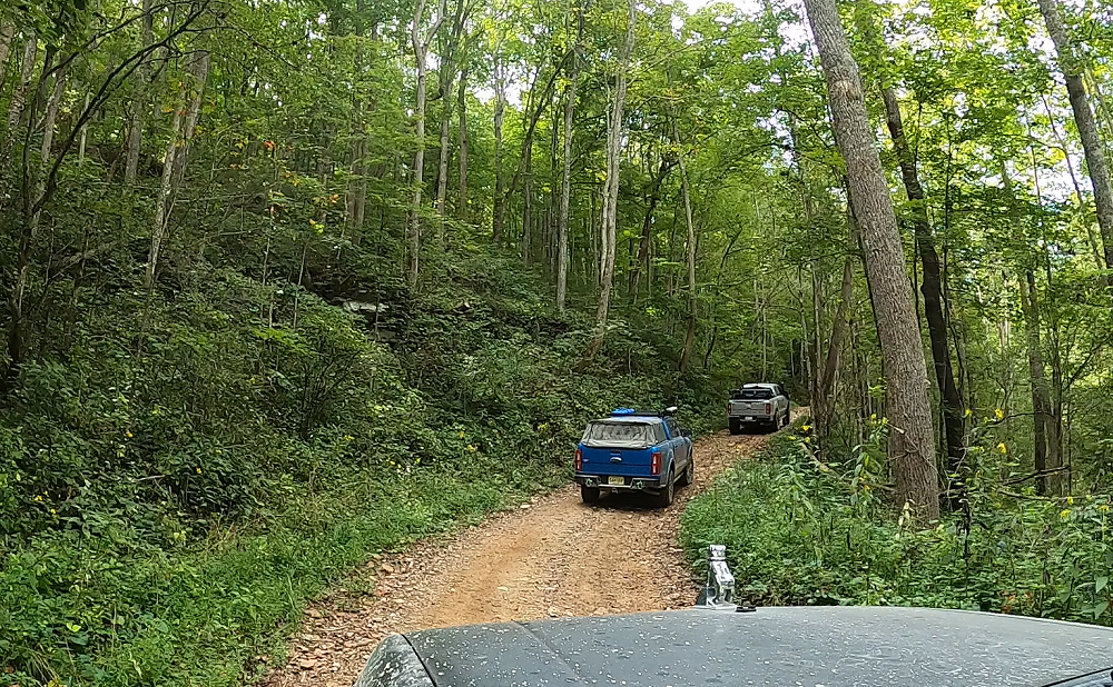
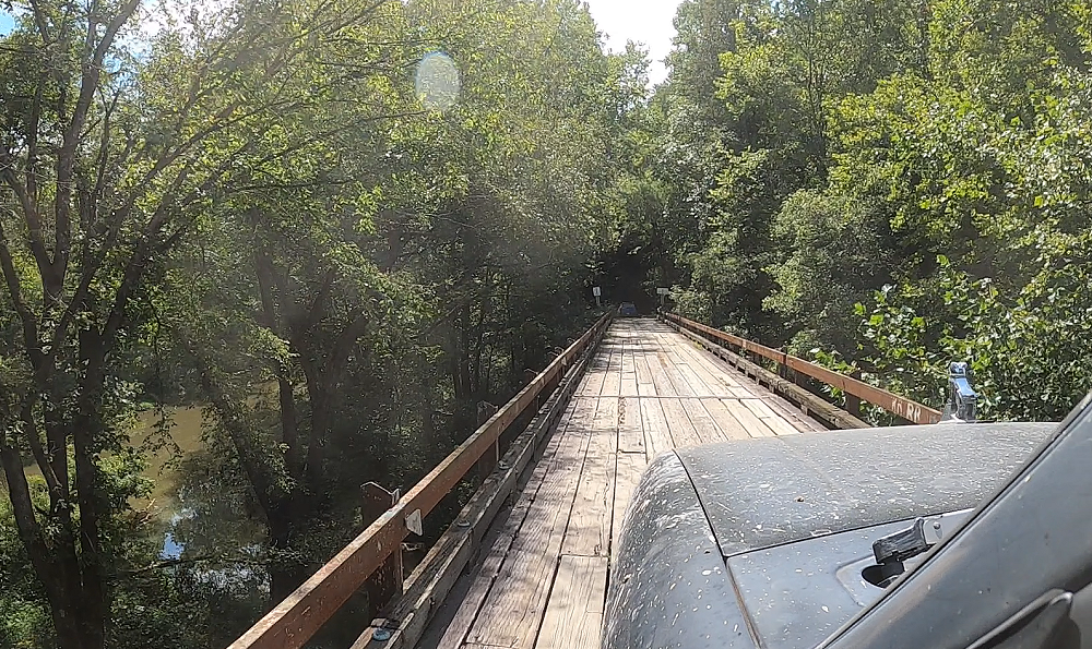
This one-lane bridge came up on us fast. We were rolling down a 2-lane paved road, rounded a bend, and there it was. The KAT map didn’t label this as a one-lane bridge. It’s just labeled as ‘slick’. I can see how this wooden bridge could be slippery when it gets wet.
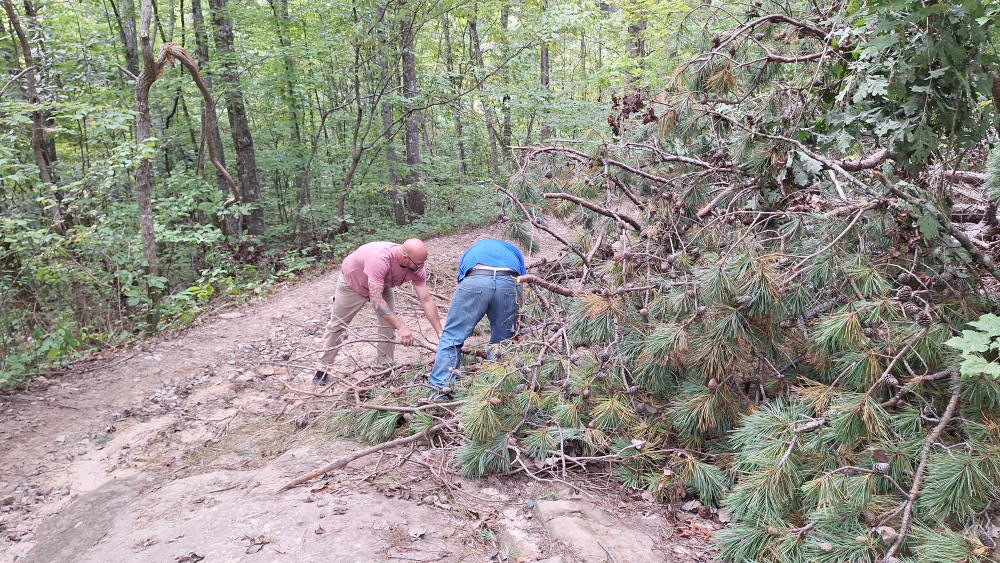
Along the way we came upon some downed trees covering most of the road. We probably could have gotten past them with some light rubbing but decided to trim them back and clear the road for the next person.
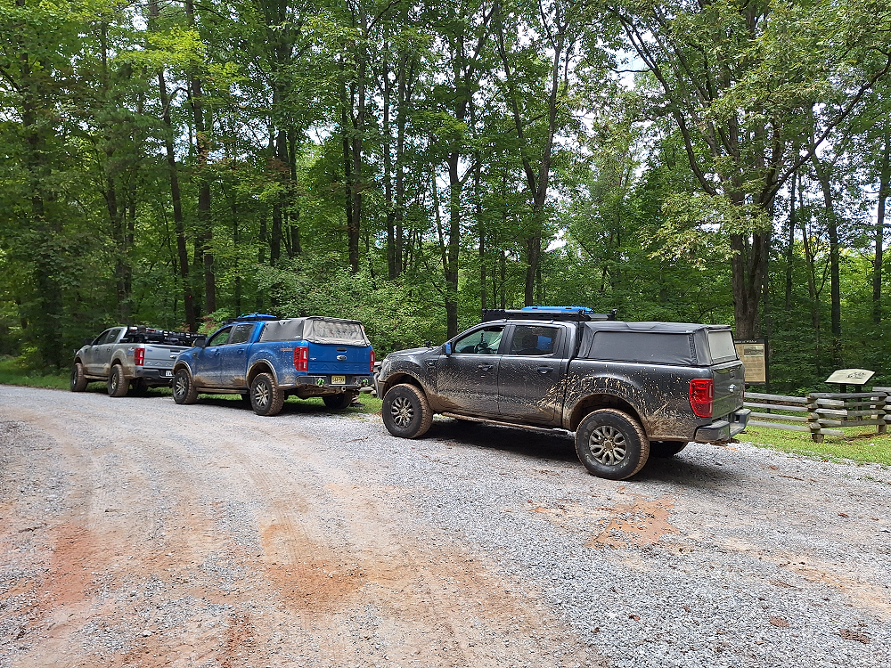
We eventually came to the Camp Wildcat civil war site and stopped to take a look around and learn more about it.
As the Confederates started up the Wilderness Road on the morning of October 21, 1861, Gen. Schoepf moved four companies of the 33rd Indiana Infantry Regiment, 350 men, 0.75 miles to the east of Camp Wildcat to Round Hill, a steep, high point along the road. Confederate pickets attacked the Union force just after they arrived at Round Hill, but the Confederates soon withdrew to report the situation to Gen. Zollicoffer. Zollicoffer sent most of two regiments, the 11th Tennessee Infantry Regiment and several companies of the 17th Tennessee Infantry Regiment to attack the Union detachment at Round Hill. Just before the attack, the companies from the 33rd Indiana were reinforced by 250 men of the 1st Kentucky Volunteer Cavalry Regiment (U.S.) and a small number of home guards. The Confederate regiments attacked the steep hill but after an hour of fighting the 11th Tennessee Infantry retreated. Soon thereafter Union reinforcements arrived, forcing the 17th Tennessee Infantry to retreat as well.
Zollicoffer then sent the 29th Tennessee Infantry Regiment and several companies of the 17th Tennessee Infantry to attack a location called the South Rim across the road from Round Hill. By then, the Union had fortified this point and the Confederate attack on this point also failed. Later, the Confederates failed to detect a gap between the 33rd Indiana Infantry and the 7th Kentucky Volunteer Infantry Regiment (U.S.) before Col. Garrard sent reinforcements to close it. With casualties mounting to no effect, Zollicoffer ceased attacking the Union position. The Confederates withdrew during the night. They continued their retreat to Cumberland Ford, which they reached on October 26.
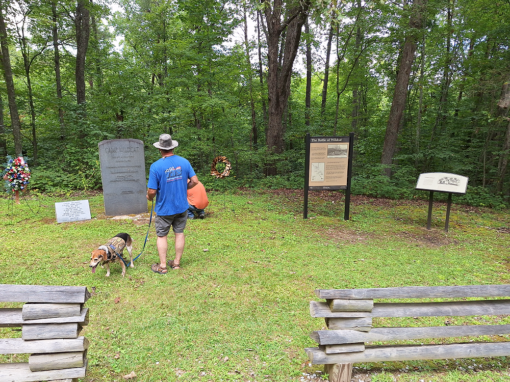
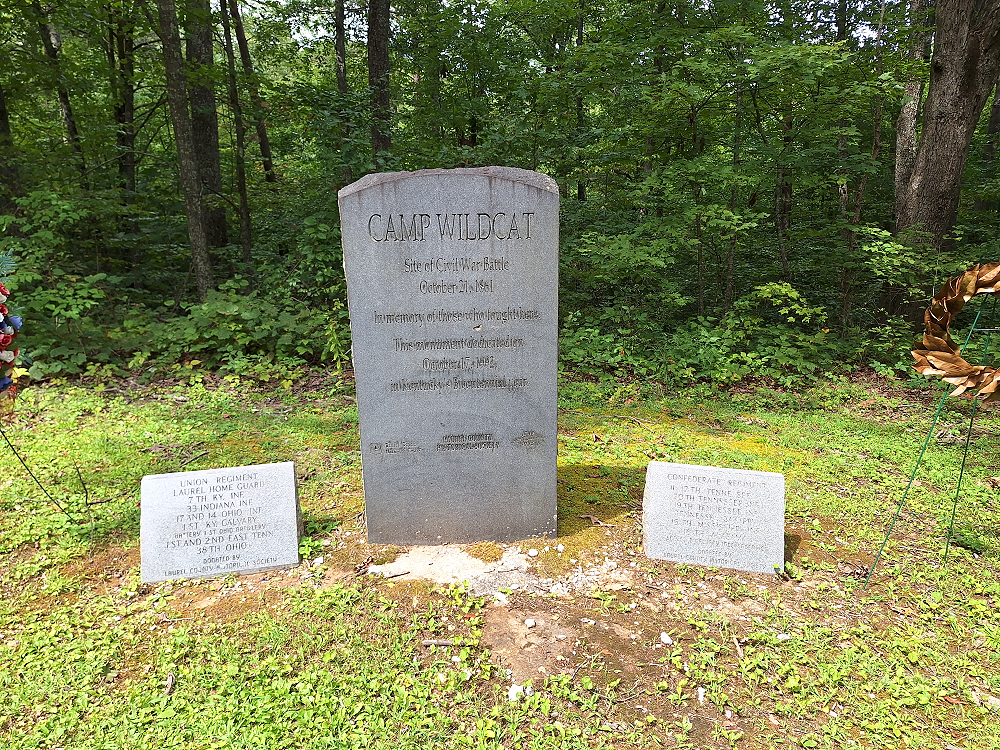
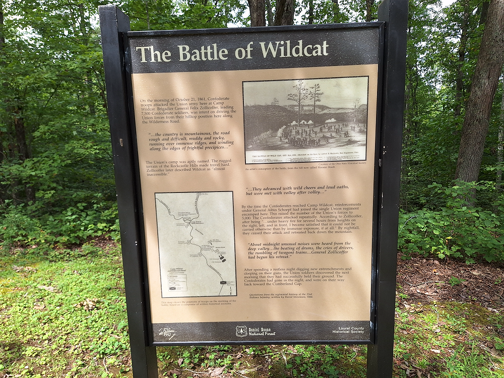
The sign above reads:
‘On the morning of October 21, 1861, Confederate troops attacked the Union army here at Camp Wildcat. Brigadier General Felix Zollicoffer, leading 7,500 Confederate soldiers, was intent on driving the Union forces from their hilltop position here along the Wilderness Road.
The Union’s camp was aptly named. The rugged terrain of the Rockcastle Hills made travel hard. Zollicoffer later described Wildcat as “almost inaccessible.”
By the time the Confederates reached Camp Wildcat, reinforcements under General Albin Schoepf had joined the single Union regiment encamped here. This raised the number of the Union’s forces to 5,000. The Confederates attacked repeatedly. According to Zollicoffer after being “…under heavy fire for several hours from heights on the right, left, and in front, I became satisfied that it could not be carried otherwise than by immense exposure, it at all.” By nightfall. they ceased their attack and retreated back down the mountain.
After spending a restless night digging new entrenchments and sleeping on their guns, the Union soldiers discovered the next morning that they had successfully held their ground. The Confederates had gone in the night and were on their way back toward Cumberland Gap.’
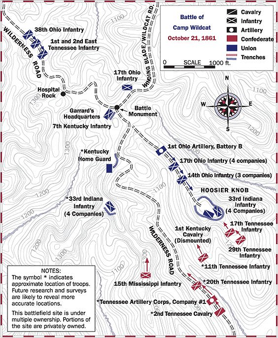
It’s incredible to stand here looking over the area and imagine that at that time there were 5,000 union and 7,500 confederate soldiers as well as artillery in this area fighting.
We continued along the KAT headed towards Livingston, Kentucky. Just before Livingston the dirt road ended at the Rockcastle River. The KAT map showed that the route crossed the river, so we looked it over and found what we thought was the shallowest part without any rock obstructions.
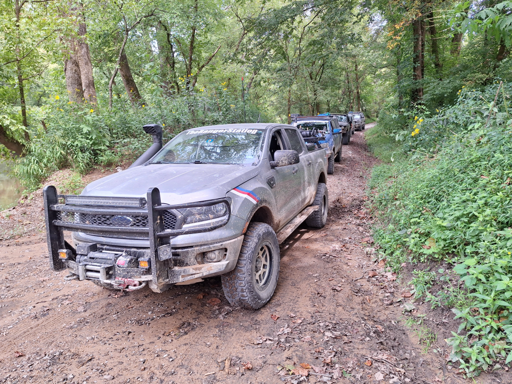
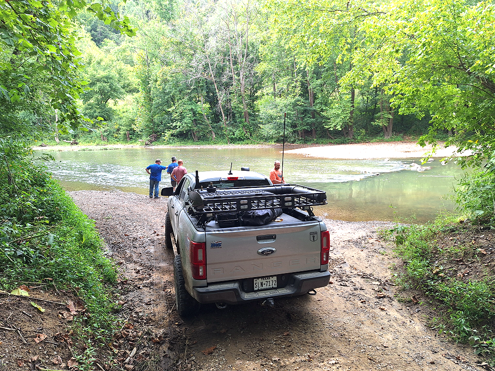
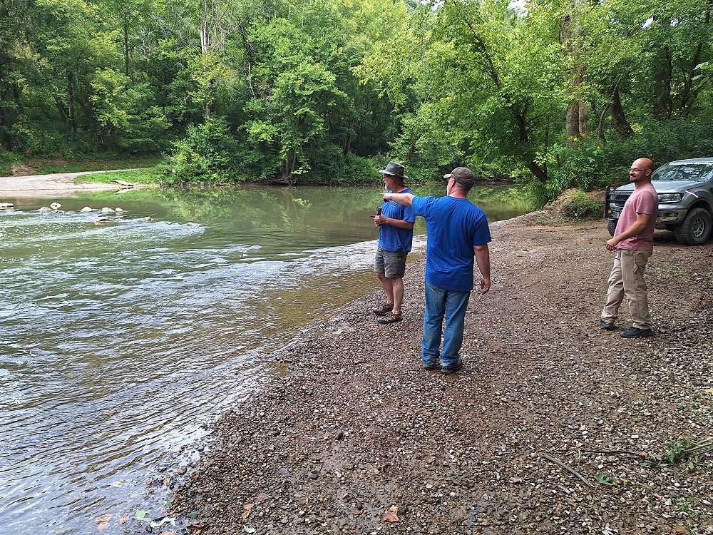
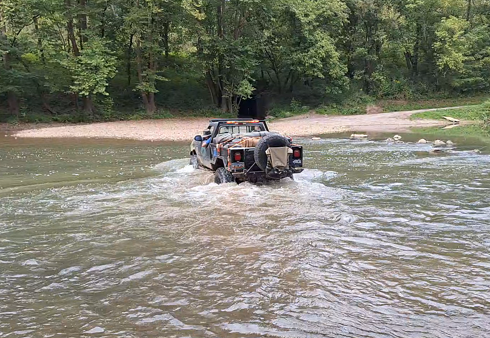
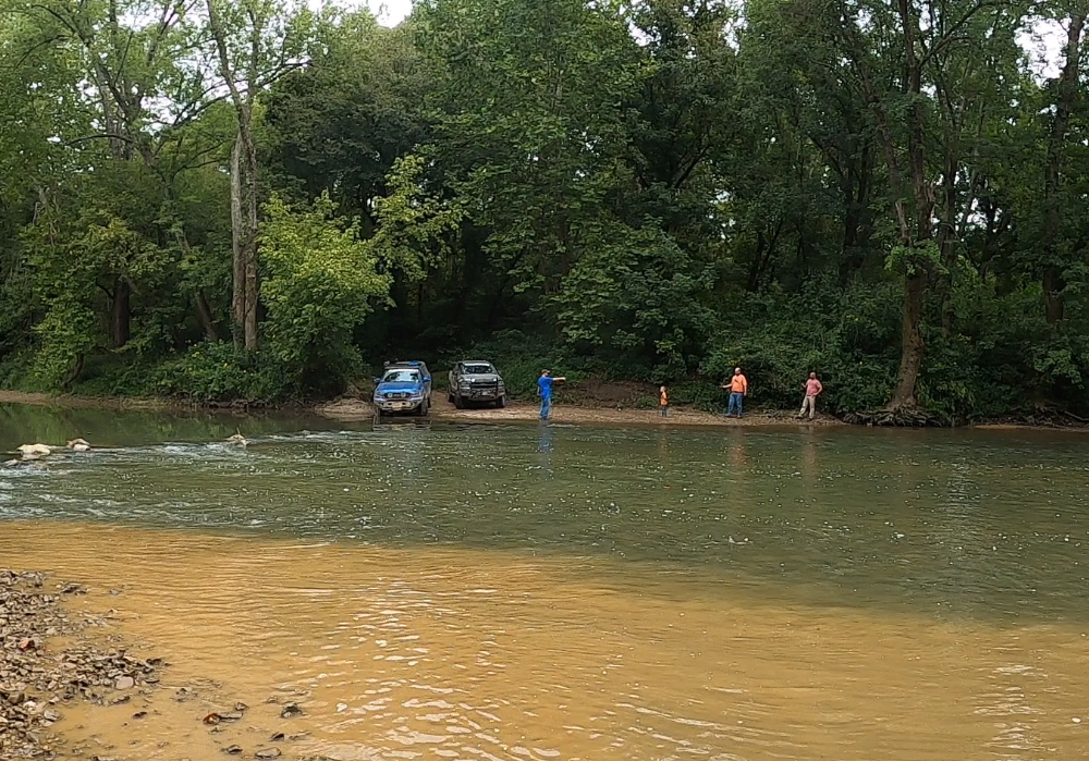
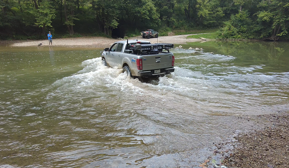
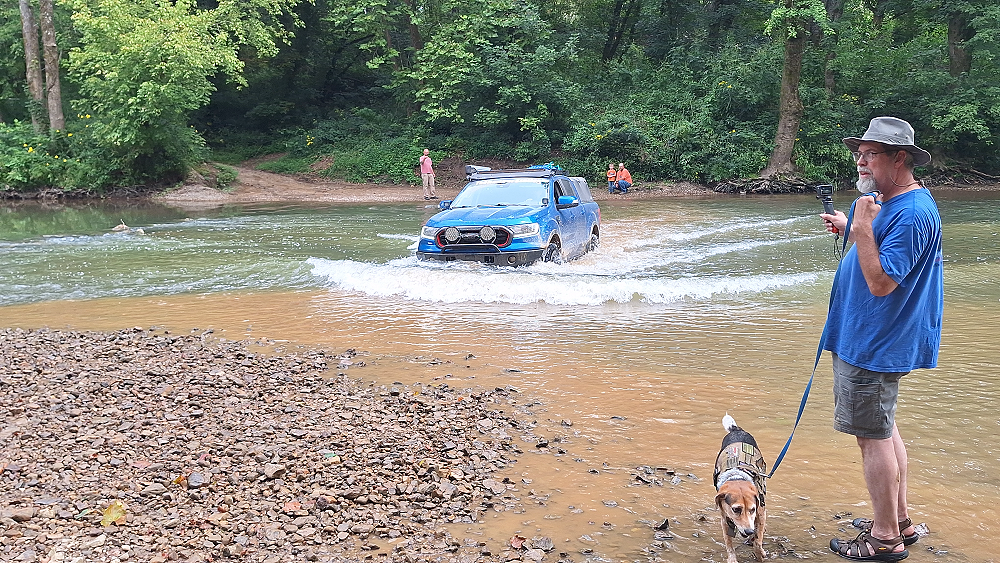
When 85_Ranger4x4 (Justin) approached the water, I thought to myself ‘go slow’. He created a wake, and the engine died about halfway across the river.
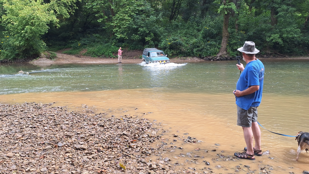
I backed into the river and Curious Hound hooked up a tow strap so I could pull him out.
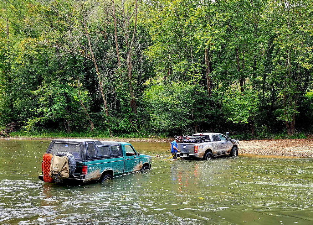
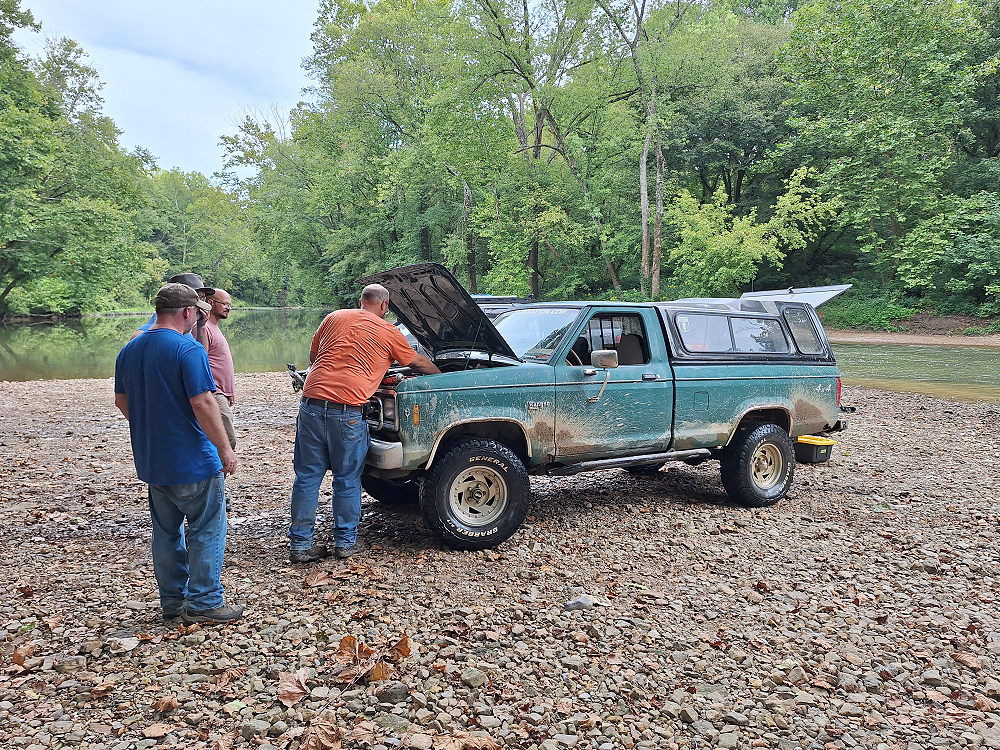
85_Ranger4x4 found that water had got into the plug for the distributor, so he sprayed it with brake cleaner and after reconnecting it, it fired right up.
But then it died.
85_Ranger4x4 remembered that he had shut the fuel pump off when he turned the key on to unlock the steering wheel so he could steer out of the river. After turning the fuel pump back on, the green beast roared back to life.
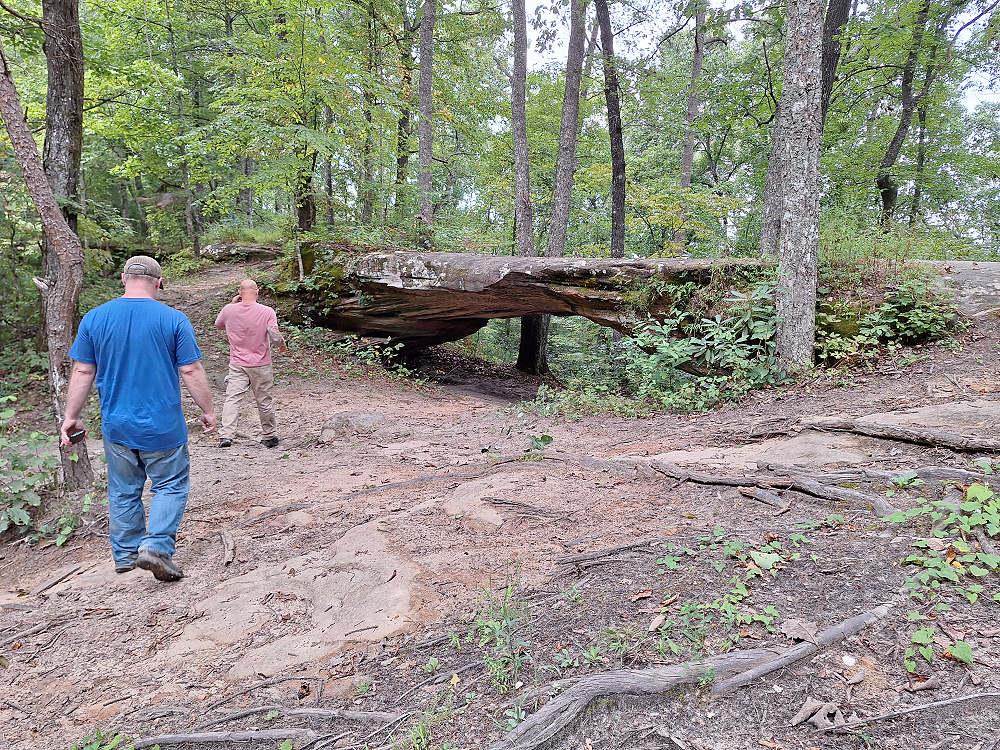
Continuing our journey along the KAT we came across another natural stone arch along the side of the road. This time we didn’t have to hike to see it. Google maps had this road labeled as both Line Creek Road, and Rooks Road.
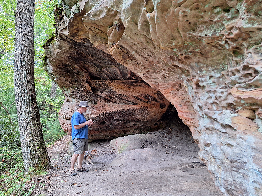
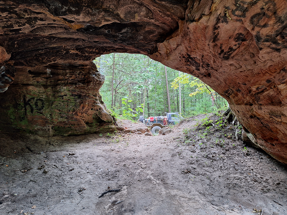
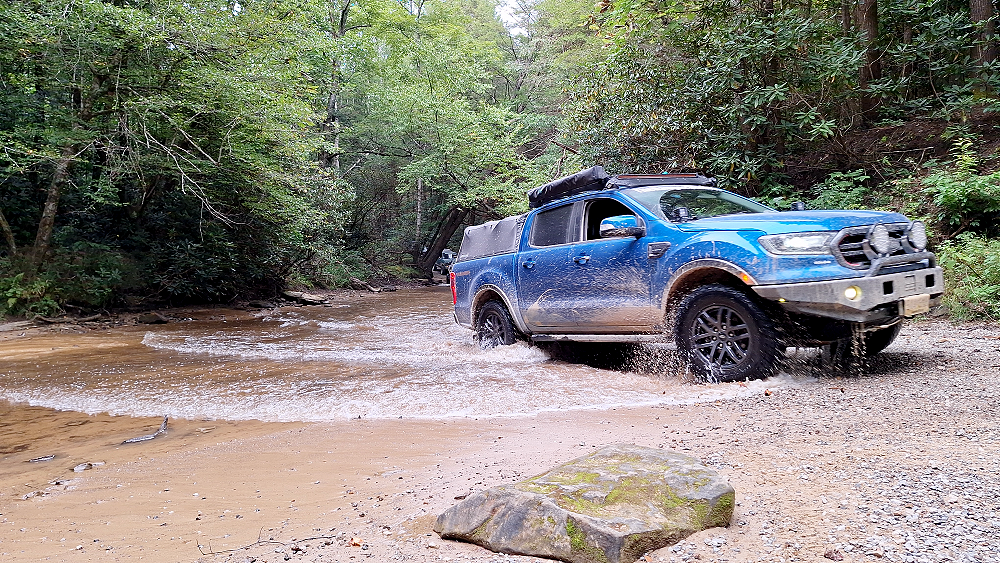
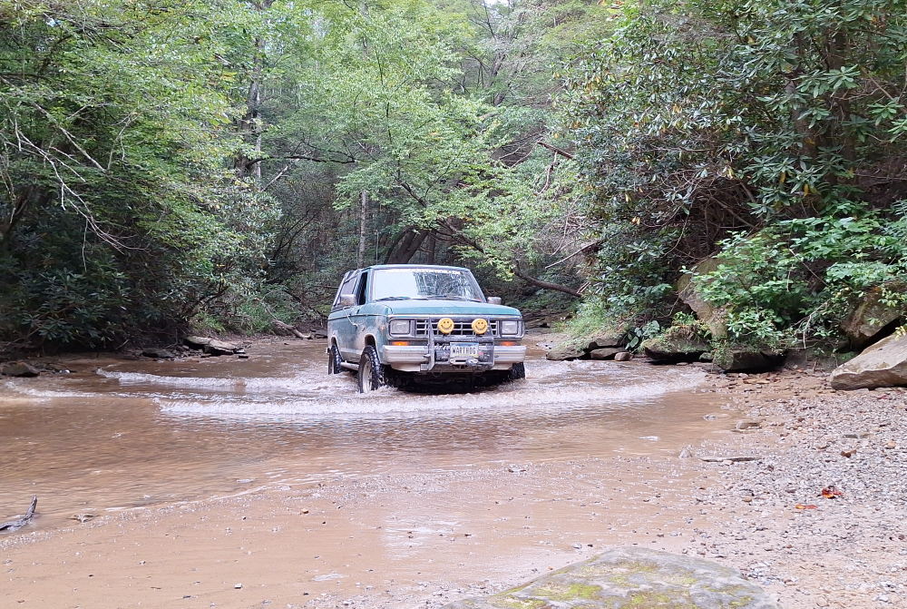
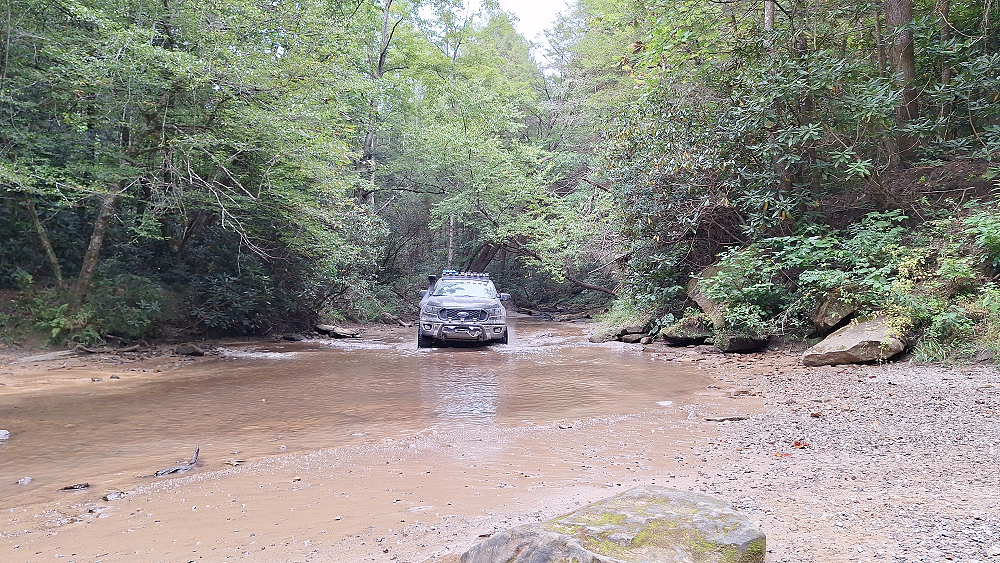
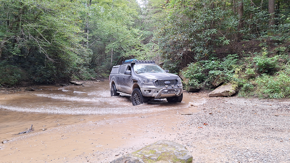
Continuing down Rooks Road brought us to yet another water crossing. This time it was crossing the Cane Creek. The creek bed makes up part of the road.
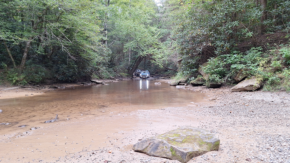
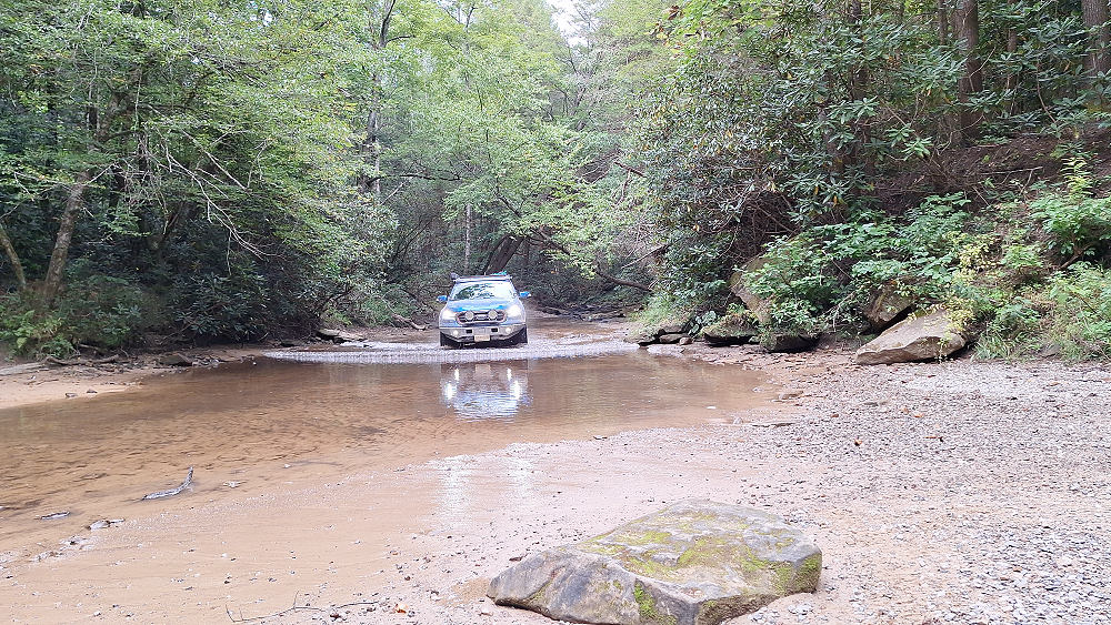

It was time to start looking for a campground. After looking at the map, we made the decision to head for Laurel Lake Campground just past the Laurel River Lake. This was another great campground that has showers and a store with a kitchen. I think they also gave us a great deal on our sites.
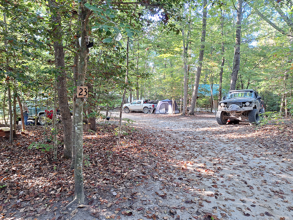
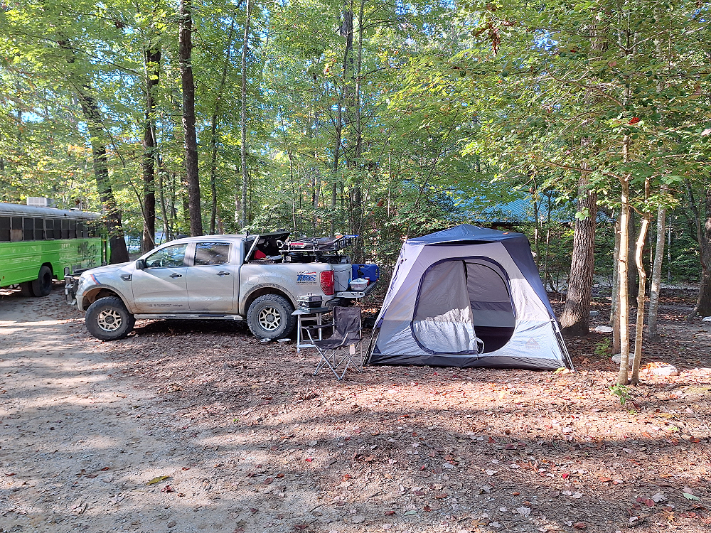
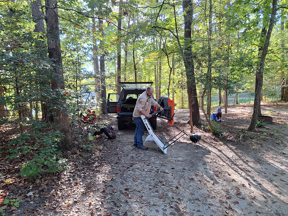
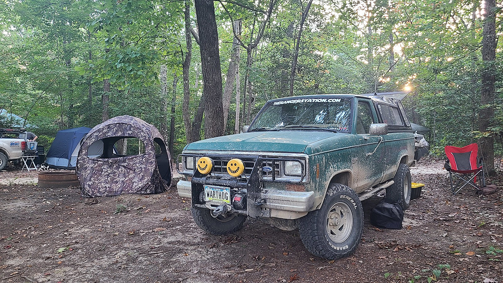
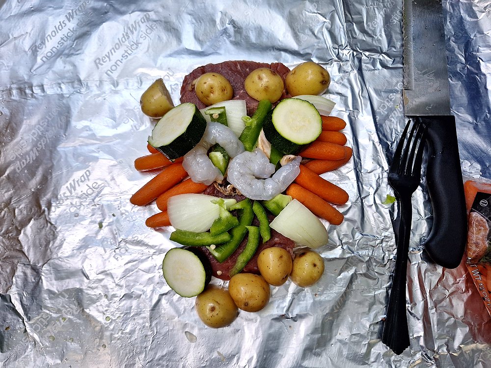
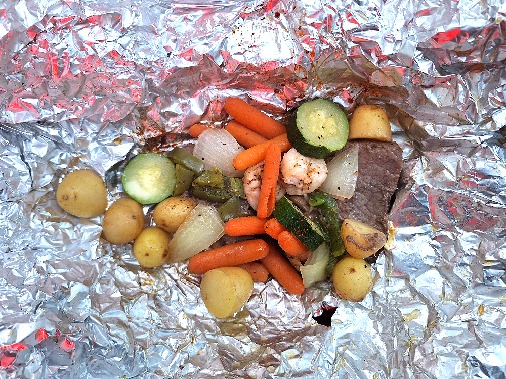
For me, tonight’s dinner was steak with shrimp, potatoes, carrots, onions, green peppers, and zucchini. It’s crazy, but I actually eat better when I’m camping than I do at home because I don’t have a microwave, and I’m forced to actually cook.
This was quite a day, and we covered quite a few miles, but we didn’t get as far on the KAT during this 3-day period as I thought we would.
Kentucky Active Shooter:
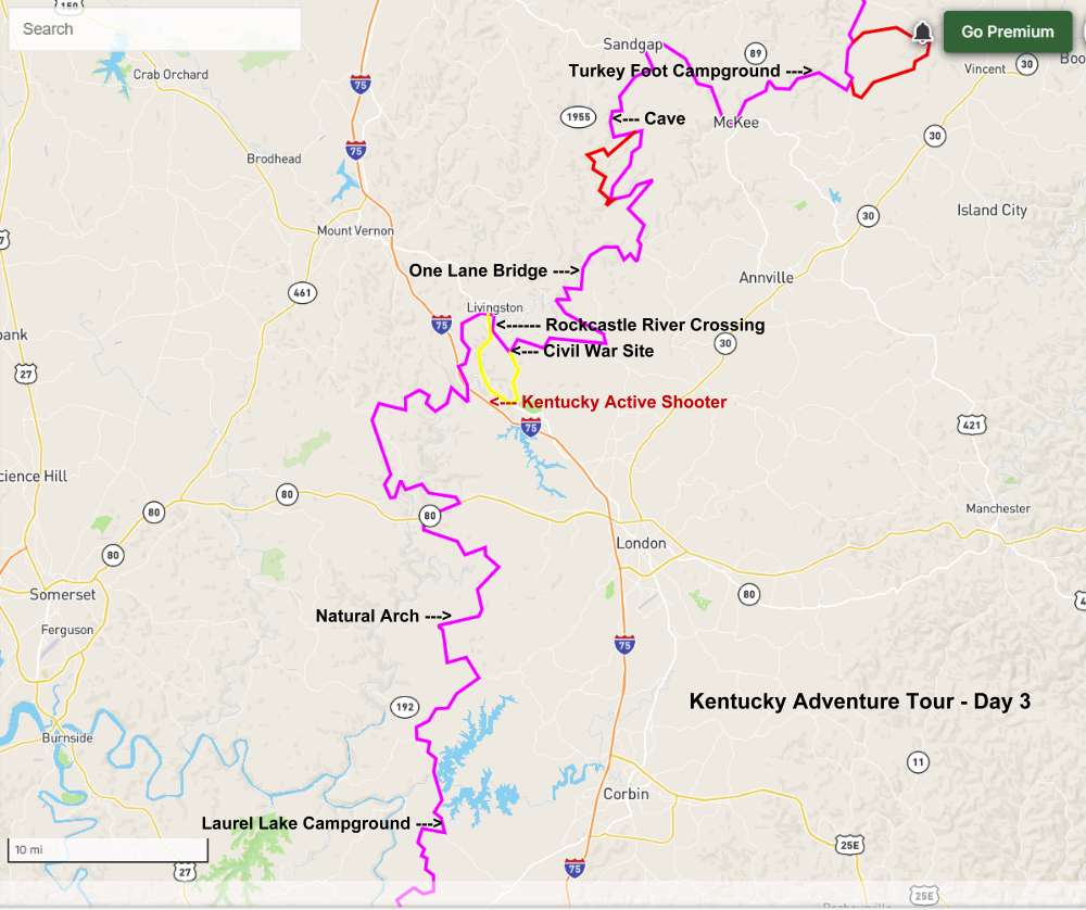
You probably heard about Joseph Couch who shot at vehicles on Interstate 75 near London, Kentucky on Saturday September 7th, and then fled into the woods. They’re still searching for him as of today. We had passed through the area just north of the shooting on this day. That area is now closed. I listed the shooting on the map so you can see where that was and where they’re searching for him in relation to where the KAT route went.
Kentucky Adventure Tour – Day 3 Map:
Links:
The Vagabonds – Kentucky Adventure Tour – Day 1
The Vagabonds – Kentucky Adventure Tour – Day 2
The Vagabonds – Kentucky Adventure Tour – Day 4
Video:

